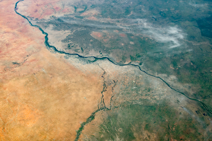
Two inland deltas spring from the landscape near the confluence of the Blue and White Niles.
Published Jun 10, 2020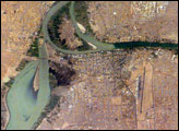
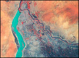
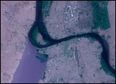
Sudan’s capital city, Khartoum, translates as “Elephant’s Trunk.” The name describes the shape of the Nile where the Blue and the White Nile Rivers unite to form the single Nile River that flows northward into Egypt. This image shows the rivers near the end of the dry season. The White Nile (western branch) runs through Sudan from Uganda. It originates in equatorial regions, where rainfall occurs throughout the year, and as a result it runs at a nearly constant rate throughout the year. The Blue Nile, nearly dry this time of year, flows out of the Ethiopian highlands, where rainfall is more seasonal. It swells in the late summer and early fall with rains from the summer monsoons. The flow at these times can be so great that the volume is too much for the river’s channel, causing the Nile to flow backward at the junction.
Published May 23, 2005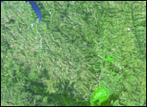
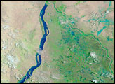
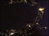
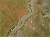
City lights define the Nile River Valley as it snakes across the Egyptian desert. The cities of Naj’ Hamadi, Qena, and Luxor, shine the brightest. Communities in the hillsides create a thin border along either side of the valley. Simliar strips line the Nile itself. Most of Egypt’s population, and most of the country’s arable land, occupies the Nile River Valley.
Published Jun 25, 2003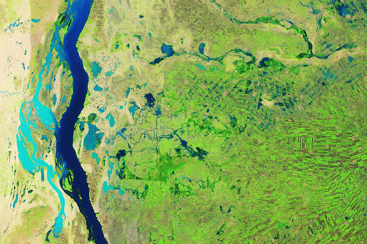
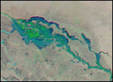
After a wet August, floodwaters inundated villages, pastures, and croplands.
Published Sep 11, 2019