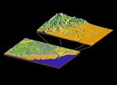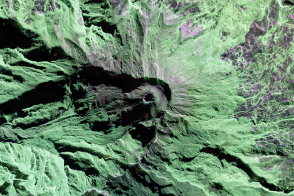
An airborne radar instrument allows scientists to ascertain the shape of a Colombian volcano. Future measurements will help detect how it is changing.
Published May 29, 2013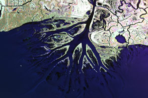
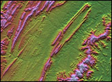
Plane-mounted radar and other instruments are studying the shrinking and growing wetlands along the Gulf Coast.
Published Jun 25, 2015
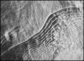
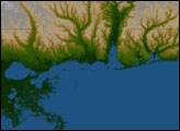
This image shows the surface of the Gulf of Mexico, northeast of the Yucatan Peninsula. Acquired by an imaging radar, the scene shows several features that would be difficult to observe with visible light. In the center of the image are a series of widely-spaced internal waves. The subsurface, internal waves are detectable by radar imagers because they modify the patterns of shorter wavelength waves on the sea surface. The brightness of the radar image depends on the roughness of the surface (smooth surfaces reflect radar waves away from the sensor, while rough surfaces reflect them back towards the sensor).
Published Jul 2, 2003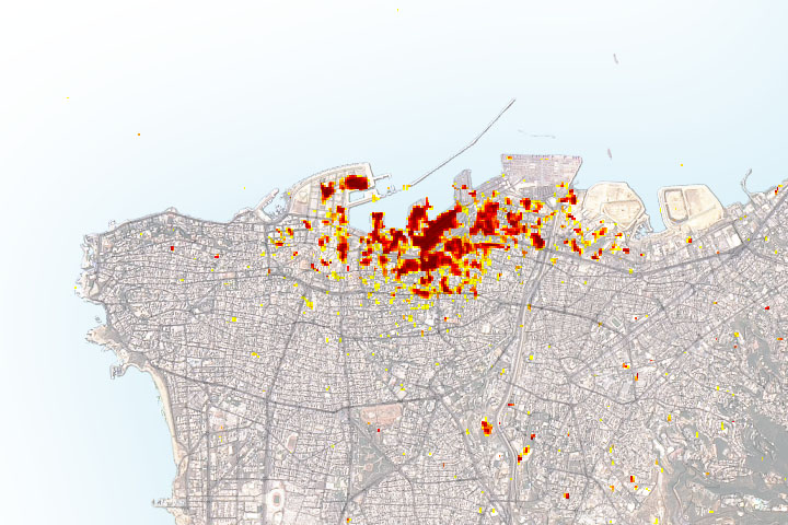
Radar imagery of ground surface changes could help with efforts at disaster relief and recovery after the explosion.
Published Aug 11, 2020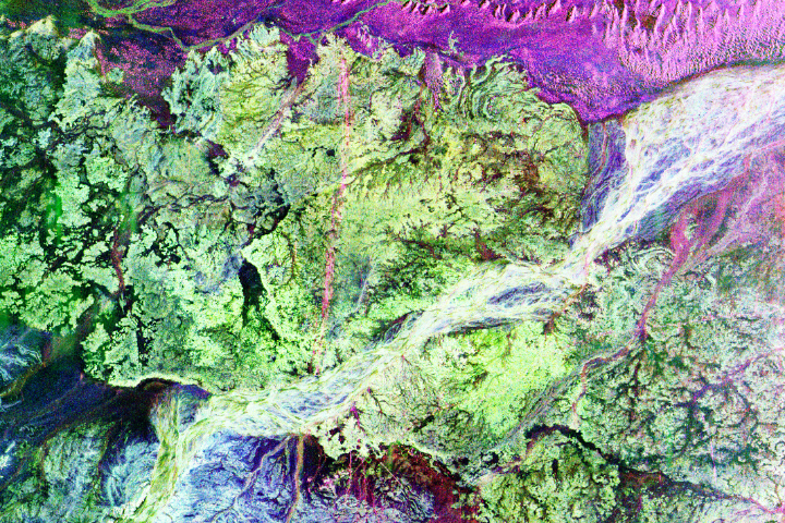
Instruments such as imaging radar helped usher in a new era in archaeology.
Published Aug 29, 2017
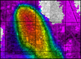
This pair of images from August 22 shows a natural-color (photo-like) view of Hurricane Bill captured by the Moderate Resolution Imaging Spectroradiometer (MODIS) on NASA’s Aqua satellite combined with a view of the vertical structure of the clouds measured by the radar on the Cloudsat satellite.
Published Aug 24, 2009