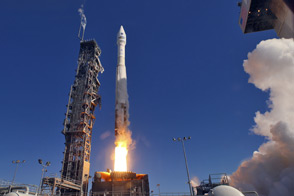
LDCM extends an unprecedented four-decade record of global land observations.
Published Feb 12, 2013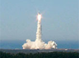
Landsat 7, NASA's newest Earth-observing satellite, launched without a hitch on April 15, 1999, at 2:32 p.m. EST from Vandenberg Air Force Base, California.
Published Apr 19, 1999
This image of the Dallas metro area was the very first image in the archives of the Landsat mission, launched in 1972.
Published Jul 23, 2012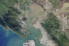
Landsat 8 can observe wavelengths of blue light that will make it easier to observe the swirl of life and water along the world’s coastlines.
Published May 31, 2013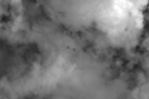
Earth science satellites are designed to study our home planet’s surface and atmosphere, but occasionally they capture views of other objects in low-Earth orbit such as satellites, the International Space Station, and rocket debris.
Published Jun 29, 2016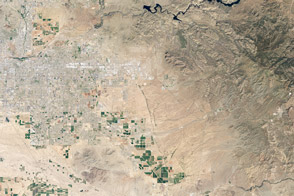
The Thermal Infrared Sensor on the newest Landsat provides insight into something invisible to human eyes: the temperature of the land surface.
Published Apr 18, 2013Image of the Day Heat Drought Human Presence Temperature Extremes
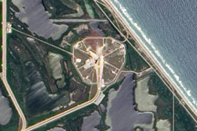
By launching from the east coast of Florida, NASA took advantage of both geography and physics.
Published Jul 16, 2009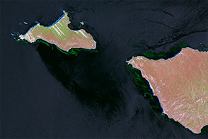
Kelp forests change frequently, and often out of sight from scientists. Infrared imagery changes that.
Published Jan 6, 2015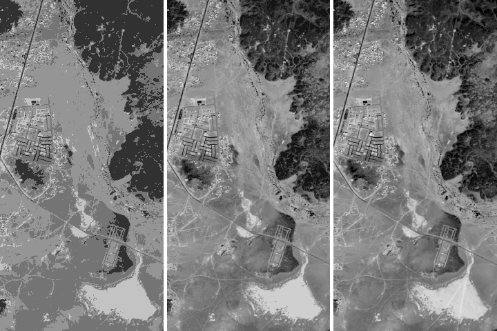
Being able to see traces of human history in satellite imagery is dependent on what details can be resolved on a given image. There are four main types of image resolution.
Published Oct 4, 2017

Stunning natural phenomenon in the water and atmosphere are revealed in this wide view of the western coastline of the United States.
Published May 19, 2018
50 trillion pixels of Landsat data give researchers a lot of opportunities to look at Earth processes on scales from days to decades.
Published Apr 16, 2015
Researchers use ground and airborne instruments, as well as Landsat 7, to calibrate the imagery from the Landsat Data Continuity Mission.
Published Apr 16, 2013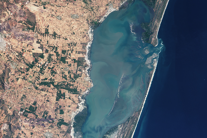
The satellite measures more than just polar ice; it also makes detailed elevation measurements over the planet’s tropical and temperate latitudes.
Published Jan 29, 2019

Forty years after the Apollo 11 landing on the Moon, the Lunar Reconnaissance Orbiter captured this image of the descent stage of the Eagle lunar module.
Published Jul 20, 2009