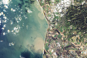
Heavy rains discolored the waters off the coast of California in late February.
Published Mar 3, 2017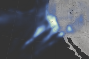
Parts of Northern California and the Sierra Nevada have not seen this much rain and snow since 2005.
Published Jan 12, 2017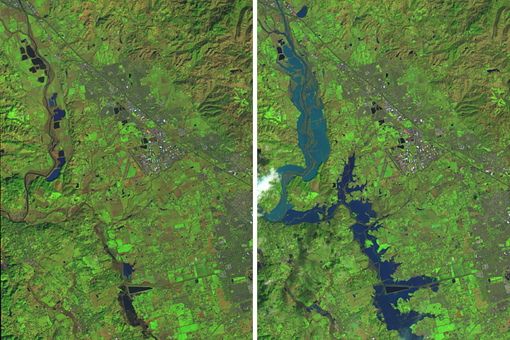
Another atmospheric river brought soaking rain to an area that was already saturated, leading to near-historic river crests in Sonoma County, California.
Published Mar 5, 2019
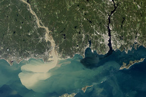
Nearly a week after Hurricane Irene drenched New England, the river was spewing large amounts of muddy sediment into Long Island Sound.
Published Sep 9, 2011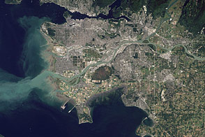
Flowing past the city of Vancouver, the Fraser River delivers a thick plume of sediment to the Strait of Georgia.
Published Mar 14, 2012
An unusual atmospheric river should give northern California a buffer against drought as the state enters the dry, summer months.
Published Apr 13, 2018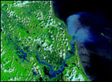
Water flowed into Yolo Bypass, a floodway between Davis and Sacramento, for the first time in three years.
Published Mar 19, 2016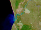
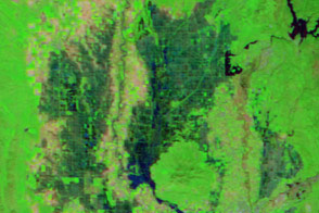
Relentless rains are to blame for ongoing flooding in northeastern China. On September 1, 2003, embankments along the Weihe river, left, burst.
Published Oct 23, 2003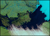

As they prepare for a satellite that will measure the height and areal extent of rivers in unprecedented detail, hydrologists have released a better map of North American river widths.
Published Jul 9, 2015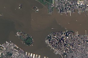
These images from September 12, 2011, and September 2, 2010, compare conditions in the Hudson River near Ellis Island. In the wake of storms, sediment filled the river in 2011.
Published Sep 13, 2011
Atmospheric rivers from the Pacific have soaked California and other western states with more than twice the usual amount of rain.
Published Feb 22, 2017
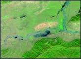
Acquired May 1, 2011, this natural-color image shows the James River completely filling the river valley near Jamesville, South Dakota.
Published May 3, 2011