Development on the edge of the wilderness is increasing the risk of destructive wildfires in Colorado.
Published Nov 8, 2013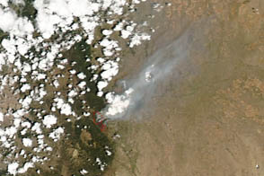
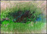
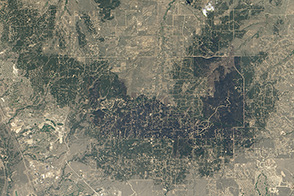
The Terra satellite captured this view of Black Forest after a devastating fire tore through the area in June 2013.
Published Jun 27, 2013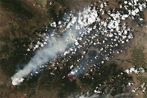
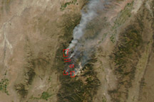
Acquired June 23, 2012, this image shows wildfires burning across Colorado, including the second-largest fire in Colorado history.
Published Jun 26, 2012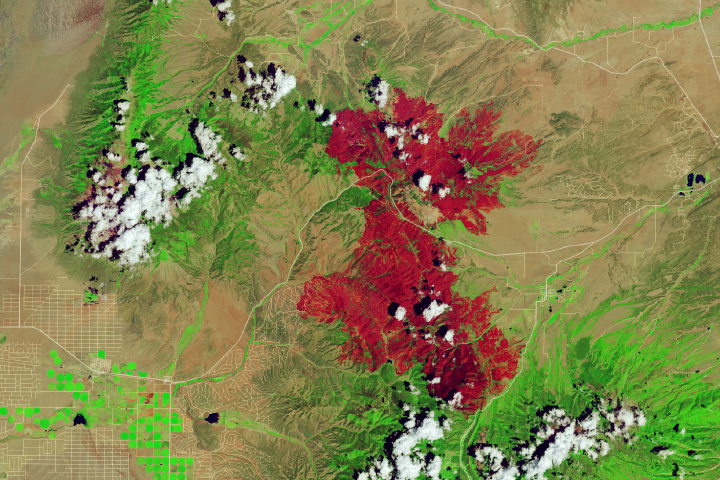
Dry, hot conditions in Colorado helped lead to the state’s third-largest wildfire in history.
Published Jul 13, 2018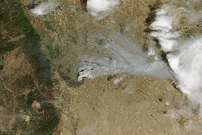
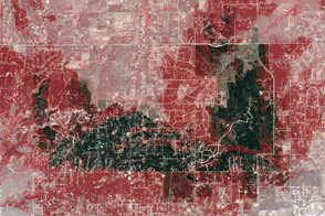
Record heat helped fuel a wildfire north of Colorado Springs that destroyed more than 360 homes in June 2013.
Published Jun 14, 2013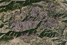
Acquired September 16, 2010, this natural-color image shows the Fourmile Canyon burn scare west of Boulder.
Published Sep 17, 2010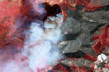
As of October 1, the Twitchell Canyon Fire continued to burn and had consumed 44,446 acres in the Fishlake National Forest.
Published Oct 1, 2010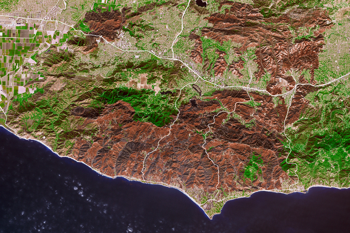
As the destructive California fire nears full containment, it has left behind an expanse of charred land.
Published Nov 19, 2018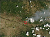
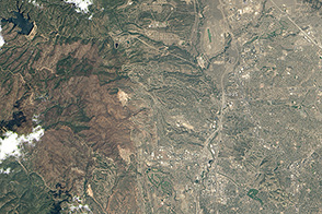
How development patterns helped make the Black Forest fire so damaging.
Published Nov 14, 2013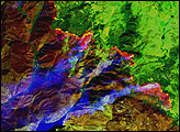
The false-color image in this true- and false-color image pair shows the extent of the large Twitchell Canyon Fire burning in the mountains of central Utah on September 21, 2010.
Published Sep 22, 2010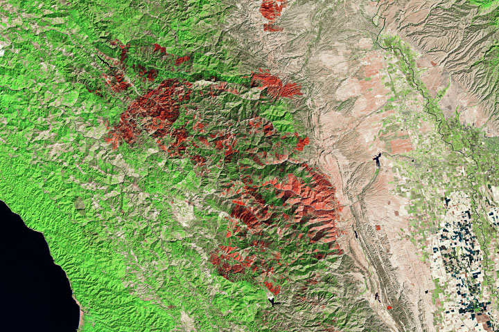
The Cameron Peak and August Complex fires have punctuated a year of natural drama in the American West.
Published Oct 21, 2020Image of the Day Heat Land Fires Human Presence Remote Sensing