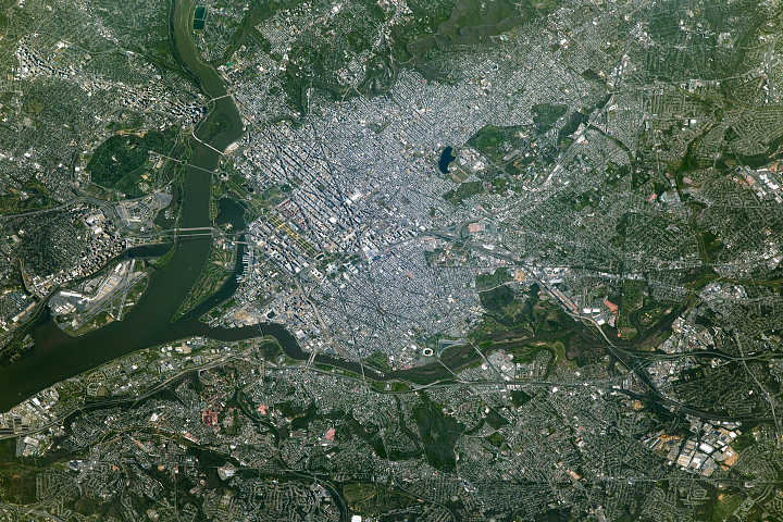
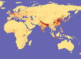
Wedged between Maryland and Virginia, the District of Columbia was established in 1790 to serve as the permanent seat of the U.S. federal government.
Published Jul 10, 2017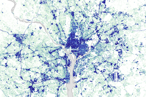
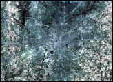
Since 1984, the Capital Beltway has gotten wider and much busier as suburbs have sprung up along it.
Published Mar 29, 2016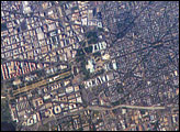
George Washington not only served as the namesake for the capital city of the United States, he also chose its location, perhaps envisioning the transportation possibilities that the Potomac River flowing past the site would provide. Recognizable in this image are the Capitol Building, the Washington Monument (and its shadow), and the Lincoln Memorial, along the northeast bank of the Potomac River.
Published May 22, 2006
Astronaut photographs from the Gemini era and from the space shuttle reveal tremendous growth.
Published Sep 16, 2001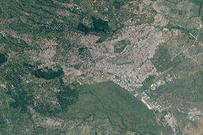
For the past few decades, Africans have been moving from rural areas into cities, seeking work. The continent’s urban population has skyrocketed. Nairobi is a prime example of that migration, with its population pushing upward and its boundaries pushing outward.
Published Sep 30, 2016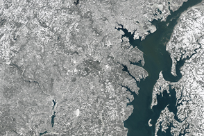
A severe winter storm coated the Mid-Atlantic of the United States with a thick blanket of snow.
Published Jan 24, 2016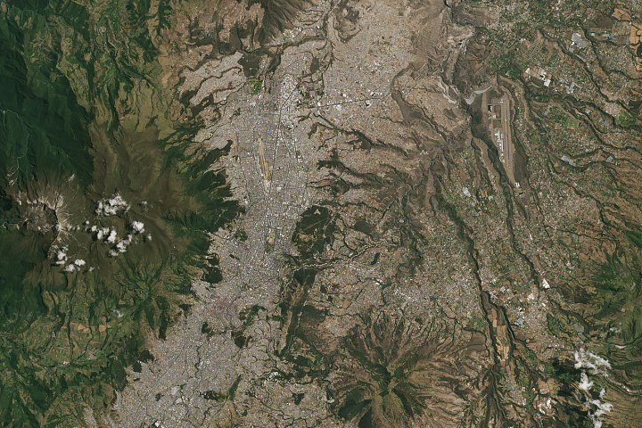
In the past three decades, Quito’s urban area has more than quadrupled.
Published Sep 30, 2019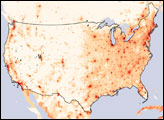
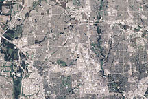
This pair of images shows explosively growing suburbs—“boomburbs”—north of Dallas, Texas.
Published Feb 7, 2010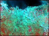

Rapid growth in several cities along the Pearl River Delta has made a Chinese megacity larger and more populous than any other urban area in the world.
Published Sep 15, 2015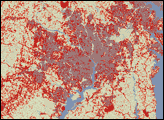
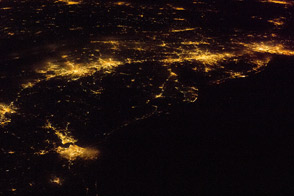
One of the largest conurbations in the world is located along East Coast of the United States, and stretches from Boston to Washington.
Published May 23, 2011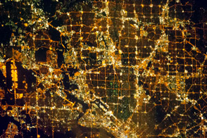
Like most cities in the western United States, the Dallas-Fort Worth area was laid out in a grid pattern.
Published Dec 31, 2012