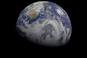
A composite of six satellite images captures some of the planet’s southern charm.
Published Apr 26, 2015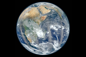
NASA's newest Earth-observing satellite, Suomi NPP, collected the images that went into this new view of our home planet.
Published Feb 4, 2012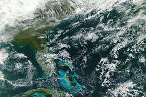
A new Earth-observing satellite opened its eyes for the first time and captured this natural-color view of eastern North America.
Published Nov 23, 2011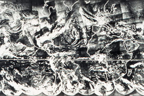
Before there was a Blue Marble photograph or composite image of Earth, there was TIROS IX.
Published Apr 22, 2015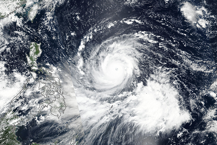
The severe storm is predicted to graze the northern Philippines before taking aim at Hong Kong and southeastern China.
Published Sep 12, 2018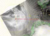
The latest image from the Arctic showing the location of The North Pole Project -- the first Internet connection and live webcast from the North Pole.
Published Apr 30, 1999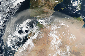
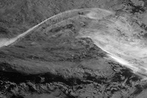
A low-pressure system over North Africa lofted a large plume of dust toward Europe and the Atlantic Ocean.
Published Feb 24, 2017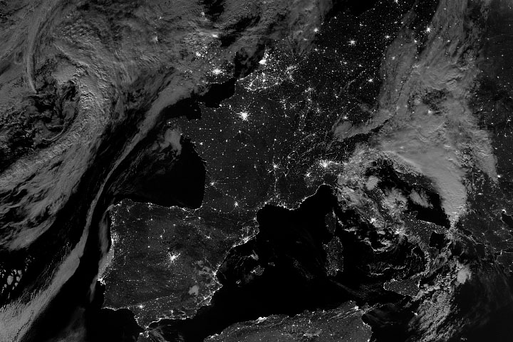
The Suomi NPP satellite got a clear view of Western Europe, its nighttime lights, and its moonlit landscape.
Published Aug 8, 2020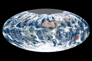
Looking down from 512 miles, the newly launched NPP satellite offers up its first gap-free view of Earth.
Published Dec 16, 2011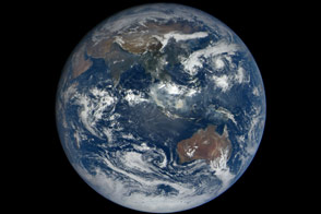
When the DSCOVR mission was conceived in the late 1990s, one of the central ideas was to provide daily, natural-color views of the entire Earth so that everyday citizens could see it. Seventeen years later, we have that view.
Published Oct 23, 2015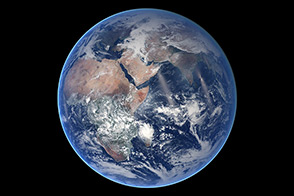
A composite image of Earth is a reminder that NASA’s mission is to study this planet as much as any other.
Published Aug 21, 2014
OSIRIS-REx took a look back at home while making its way toward the asteroid Bennu.
Published Dec 31, 2017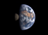
From 31 million miles away, how could you tell that there was life on Earth? Scientists used the remote vantage point of NASA’s Deep Impact spacecraft to shoot a sequence of images that will help to help answer that question.
Published Jul 22, 2008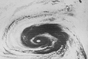
Fifty years ago, NASA launched the first of seven satellites that revolutionized how we study weather, the atmosphere, and other Earth systems.
Published Oct 12, 2014Image of the Day Atmosphere Water Severe Storms Remote Sensing
A satellite detected the visible light produced by electrically charged particles hitting the atmosphere—also known as the aurora australis.
Published Mar 21, 2017
Seen from a billion kilometers away, through the ice and dust particles of Saturn’s rings, Earth appears as a tiny, bright dot.
Published Jan 16, 2007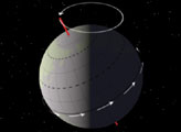
Precession—the change in orientation of the Earth's rotational axis—alters the orientation of the Earth with respect to perihelion and aphelion.
Published Mar 24, 2000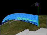
Orbiting the Earth at nearly 17,000 miles per hour, NASA's Ice, Cloud and land Elevation Satellite (ICESat) is collecting spectacular new three-dimensional measurements of the Earth's surface and atmosphere.
Published Dec 10, 2003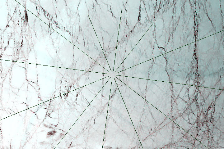
A NASA satellite captures one of its first clear views of the Arctic sea ice cap.
Published Oct 2, 2000
From one million miles away, the DSCOVR satellite returned its first view of the entire sunlit side of Earth.
Published Jul 21, 2015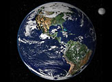
This true-color image shows North and South America as they would appear from 35,000 km (22,000 miles) above the Earth.
Published Oct 17, 2000