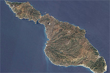
Off the coast of California, rugged Santa Catalina Island is encircled by a white perimeter of breaking waves in this satellite image from May 11, 2010.
Published Jun 6, 2010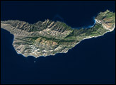
Eight small islands lie off California’s southern coast; on the map they appear situated roughly along a transect line that bypasses Los Angeles and stretches southeastward from Point Conception to San Diego.
Published Jan 27, 2003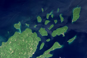
Lighthouses and sandstone formations draw visitors to the shores of Lake Superior.
Published Aug 28, 2016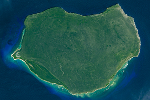
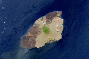
The small Puerto Rican island is a natural reserve that has been nicknamed the “Galapagos of the Caribbean.”
Published Feb 28, 2016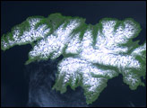
Attu Island is so far west, it’s actually in the Eastern Hemisphere. It is the westernmost of Alaska’s Aleutian Islands, even farther west than the Hawaiian Islands.
Published Jul 5, 2006
This photo-like image of Chincoteague Island and the southern section of Assateague was acquired by the IKONOS satellite on June 27, 2001.
Published Oct 28, 2008
The island is a small but mighty example of compelling Galápagos biology.
Published Jul 21, 2012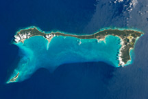
Once named San Salvador, the island may be where Christopher Columbus made his first landfall in the Americas.
Published Mar 21, 2011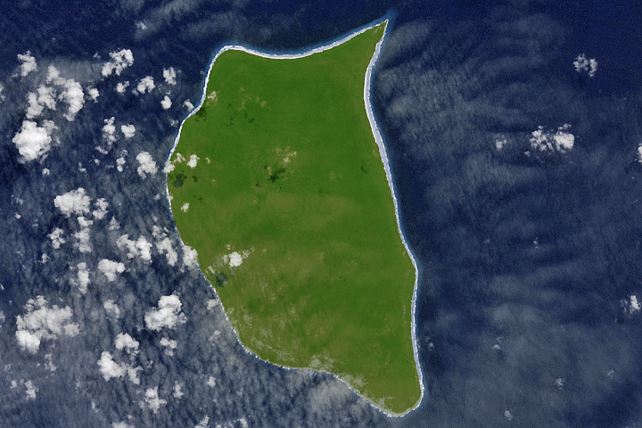
For hundreds of years, Henderson Island has seen little human activity. Nonetheless, it has human fingerprints all over its beaches.
Published Jul 23, 2017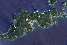
Acquired September 17, 2005, this true-color image shows Tortola, the largest of the British Virgin Islands. Also shown are Tortola’s smaller neighbors: Guana Island, Grand Camanoe, and Beef Island.
Published Nov 29, 2009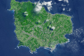
A 35-square-kilometer island rises from the Pacific Ocean about 1,400 kilometers from the Australian mainland.
Published May 23, 2015
This natural-color image shows Henrietta Island, with a smooth, dome-capped surface and a rugged coastline, illuminated by low-angled sunlight.
Published May 3, 2009