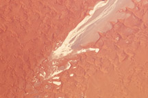
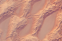
A pale, dry riverbed cuts through the red dunes of the Namib Sand Sea.
Published Jan 25, 2010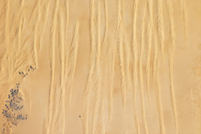
Winds shape the sands that were left behind by an ancient river.
Published Jun 4, 2012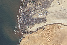
Acquired April 2, 2011, this natural-color image shows the Swakop River draining into the Atlantic Ocean just south of Swakopmund.
Published Apr 12, 2011
Acquired April 2, 2011, and February 27, 2011, these natural-color images show rising waters on the Kuiseb River, which flowed all the way to the Atlantic Ocean for the first time in decades.
Published Apr 12, 2011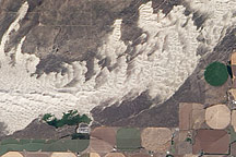
White sand dunes spill across the Snake River Plain in a wide arc in this detailed, photo-like image acquired by the Advanced Land Imager on NASA’s EO-1 satellite on September 25, 2010.
Published Sep 29, 2010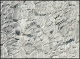
This astronaut photograph shows classic large and small sand masses of the central Sahara Desert, where wind is a more powerful land-shaping agent than water.
Published Jan 19, 2009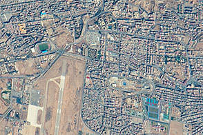
In Western Sahara, an unusual river vanishes in a sand field before it reaches the sea. In the process, it provides water for the largest city in the country.
Published May 9, 2016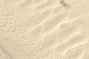
This detailed true-color image from February 24, 2011, shows the variety of sand dunes that make up the Algodones Dunes in southeastern California.
Published May 27, 2011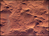
he Issaouane Erg (sand sea) is located in eastern Algeria between the Tinrhert Plateau to the north and the Fadnoun Plateau to the south. Considered to be part of the Sahara Desert, the Issaouane Erg covers an area of approximately 38,000 km2. These complex dunes form the active southwestern border of the sand sea.
Published Feb 7, 2005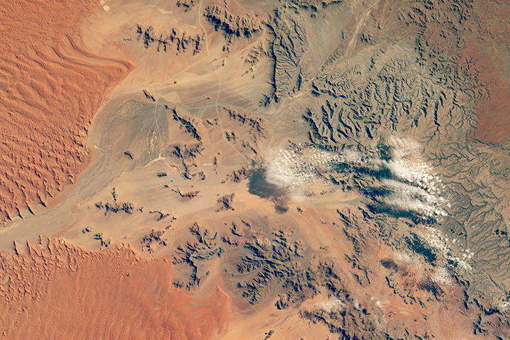
In a land with little water, the wind does the landscaping most of the time. Ephemeral water leaves a mark, though.
Published Jul 29, 2018
This digital elevation map of the Badain Jaran Desert shows multi-generation dunes, with smaller dunes resting atop larger ones.
Published Apr 20, 2011