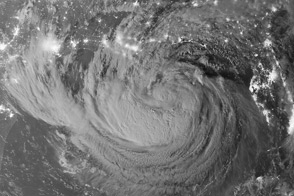
A new Earth-observing satellite opened its eyes for the first time and captured this natural-color view of eastern North America.
Published Nov 23, 2011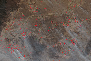
Scientists hope that higher-resolution data from VIIRS will lessen the pressure on firefighters.
Published Dec 8, 2015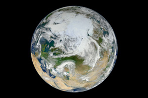
A new composite image built from 15 satellite passes shows the Arctic and northern latitudes as you have never seen them before.
Published Jun 22, 2012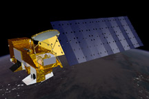
This pair of images includes a computer drawing of NASA’ Aqua satellite and the global picture of Earth one Aqua’s onboard sensors captured on March 16, 2009.
Published Aug 20, 2009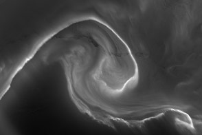
The “southern lights” were bright enough to illuminate the ice below.
Published Jan 1, 2013Image of the Day Atmosphere Fires Unique Imagery Snow and Ice Remote Sensing
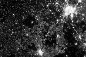
New images from Suomi NPP are an order of magnitude better than previous satellite views of city lights.
Published Dec 14, 2012Image of the Day Land Fires Unique Imagery Human Presence Remote Sensing
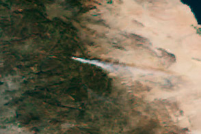
The new instrument should become a primary resource for monitoring of biomass burning and for fire management.
Published Jan 26, 2012
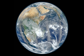
NASA's newest Earth-observing satellite, Suomi NPP, collected the images that went into this new view of our home planet.
Published Feb 4, 2012
The Suomi NPP satellite got a clear view of Western Europe, its nighttime lights, and its moonlit landscape.
Published Aug 8, 2020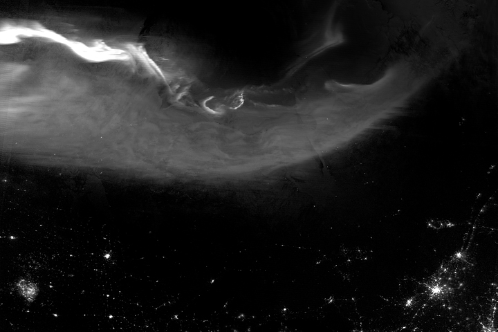
The Suomi NPP satellite captured a glimpse of the northern lights over North America.
Published Apr 24, 2018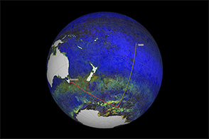
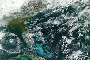
Scientists from NASA are cruising on a research vessel from Tasmania to Tahiti by way of the Southern Ocean. Their objective: gather detailed measurements of Pacific sea water that will be used to validate satellite measurements
Published Apr 5, 2014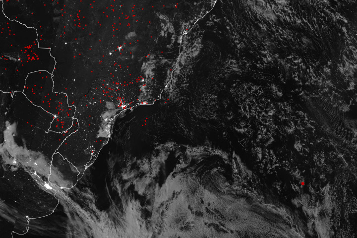
High-energy particles from the South Atlantic Magnetic Anomaly occasionally trick satellite sensors.
Published Oct 29, 2018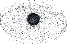
Approximately 19,000 manmade objects larger than 10 centimeters orbit the Earth. These images, based on models, show the distribution of orbital debris around Earth.
Published Sep 12, 2009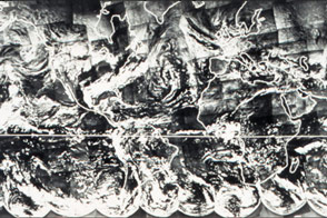
Before there was a Blue Marble photograph or composite image of Earth, there was TIROS IX.
Published Apr 22, 2015
A composite of six satellite images captures some of the planet’s southern charm.
Published Apr 26, 2015