Fresh lava flows cover the slopes of Hawaii’s Kilauea Volcano.
Published Nov 4, 2010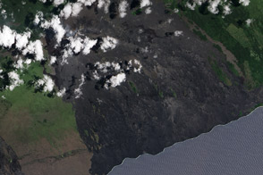
The volcano continues to earn its reputation as Earth’s most active.
Published Jun 13, 2012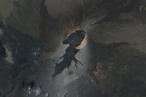
Satellite view of fresh lava flows from recent activity at Kilaue’s Pu’u O’o Crater.
Published Sep 9, 2011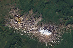
Low-viscosity lava flows produce long, narrow shapes on the landscape.
Published Nov 22, 2013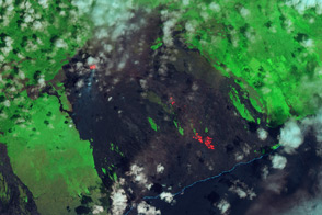
Infared satellite imagery shows how lava tubes carry molten basalt from Pu'u 'O'o to the coastal plain.
Published Oct 23, 2012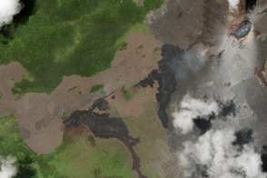
Overlapping lava flows on Kilauea Volcano illustrate the formation of the Hawaiian Islands.
Published Jan 5, 2013
Kilauea erupted enough lava to fill 45,000 Olympic-sized swimming pools.
Published Jun 12, 2018Image of the Day Land Water Volcanoes Human Presence Remote Sensing
Pu'u 'O'o and the Thanksgiving Eve Breakout vent on Kilauea--two centers of volcanic activity--emit steam and other gases in this satellite image.
Published Nov 5, 2009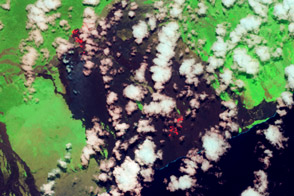
Two active lave flows: the Kahaulae’a 2 flow and the Peace Day flow, extend north and south from Kilauea’s Pu’u O’o.
Published Jul 9, 2013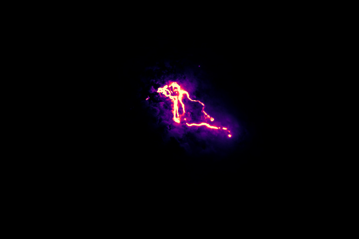
This false-color image shows the infrared signal emitted by fresh lava flowing toward the sea.
Published May 26, 2018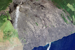
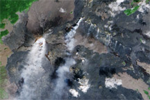
Molten rock meets the sea in the latest episode in a long-lived eruption.
Published Nov 20, 2016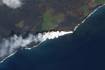
Lava from Kilauea Volcano flows into the ocean near Kalapana, Hawaii.
Published Oct 5, 2010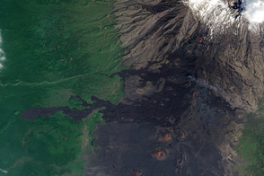
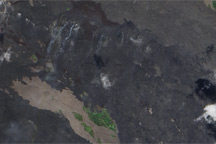
Fresh lava flows are difficult to distinguish from the barren rock of Tolbachinsky Dol, a volcanic plateau.
Published Jun 9, 2013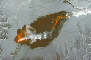
The Holuhraun lava field in Iceland continues to grow.
Published Jan 8, 2015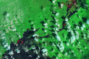
For several months, residents of the Hawaiian town of Pahoa have been watching the June 27 lava flow warily.
Published Mar 8, 2015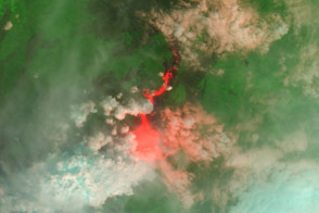
A river of red and black lava marks the site of Nyamurigira’s latest eruption.
Published Nov 16, 2011