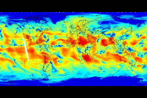
A sensor on the United States' newest weather and climate satellite can depict the vertical and horizontal distribution of water vapor in the atmosphere.
Published Nov 12, 2011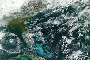
A new Earth-observing satellite opened its eyes for the first time and captured this natural-color view of eastern North America.
Published Nov 23, 2011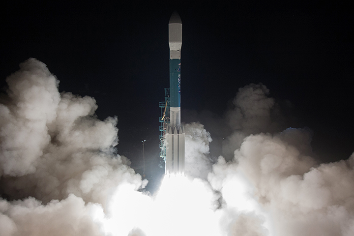
Scientists have a new tool for understanding Earth’s weather and climate.
Published Nov 21, 2017
Landsat 7, NASA's newest Earth-observing satellite, launched without a hitch on April 15, 1999, at 2:32 p.m. EST from Vandenberg Air Force Base, California.
Published Apr 19, 1999
Sixteen operating satellites monitor Earth. Four more are scheduled to launch in 2014.
Published Jul 5, 2013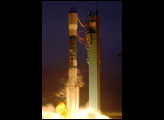
After arriving in its final orbit, DSCOVR will monitor the solar wind and send back epic views of Earth’s full sunlit disk.
Published Feb 13, 2015
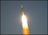
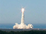
This photo shows the GOES-P satellite launching from Cape Canaveral, Florida, on March 4, 2010.
Published Mar 6, 2010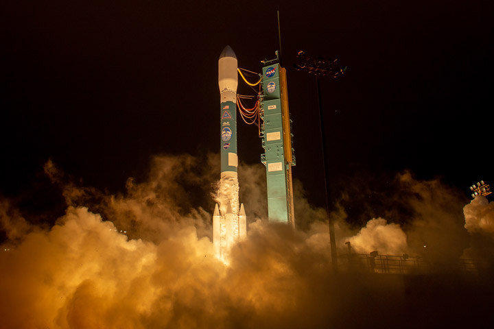
NASA’s ICESat-2 successfully lifted off from Space Launch Complex-2 at Vandenberg Air Force Base.
Published Sep 17, 2018
The lights of cities and villages trace the outlines of civilization in this global view.
Published Nov 27, 2012
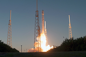
From one million miles away, the DSCOVR satellite returned its first view of the entire sunlit side of Earth.
Published Jul 21, 2015
Updated for 2012, this map of lights across America has a least 10 times better resolution than previous maps.
Published Dec 25, 2012