Scientists from around the world banded together to analyze landslides in the wake of a potent temblor. They found fewer scars on the landscape than past events would have predicted.
Published Dec 17, 2015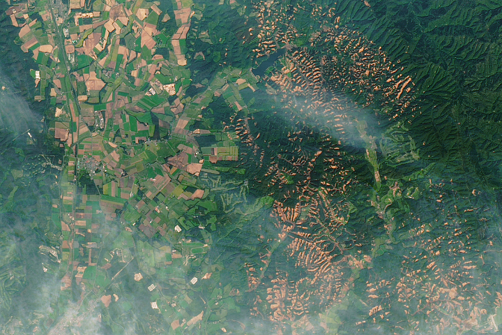
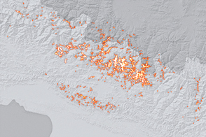
A powerful earthquake triggered hundreds of landslides on the Japanese island.
Published Oct 2, 2018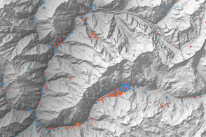
A multinational team is trying to map landslide hazards in Nepal before the summer monsoon adds to the region’s misery.
Published Jun 4, 2015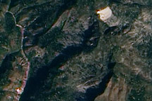
This true-color image from January 15, 2010, highlights potential new landslides near the epicenter of Haiti’s massive 7.0 earthquake.
Published Jan 19, 2010
These images show changes in the landscape before and after an earthquake struck on May 12, 2008.
Published May 29, 2008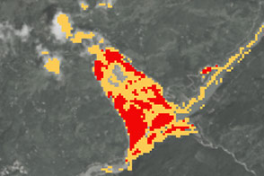
New open-source software called SLIP-DRIP uses satellite images and rainfall data to help identify otherwise overlooked landslides.
Published Jul 8, 2016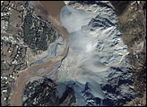
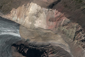
The magnitude 7.6 earthquake that shattered Pakistan on October 8, 2005, caused the most damage in the region surrounding the city of Muzaffarabad, about 10 kilometers southwest of the earthquake’s epicenter. The Ikonos satellite captured an image of a landslide in Makhri, a village on the northern outskirts of Muzzaffarabad, on October 9, 2005. The western face of the mountain has collapsed, sending a cascade of white-grey rock into the Neelum River. The landslide is likely only one of many to occur along the river, which is almost unrecognizable after the earthquake.
Published Oct 23, 2005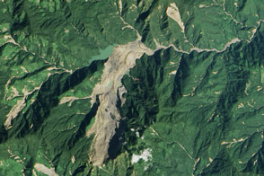
Heavy rainfall from tropical storm Komen triggered a large landslide in Myanmar (Burma).
Published Nov 8, 2015
Using satellite radar sensors, scientists have been able to detect the rising and falling of the landscape in the Himalayas caused by the Gorkha earthquake.
Published May 14, 2015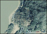
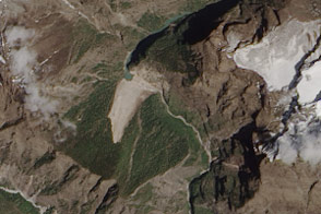
Debris from an earthquake-induced landslide has dammed a river in Nepal.
Published May 7, 2015
In parts of Africa and South America, landslides are happening even if you rarely hear of them.
Published Apr 6, 2017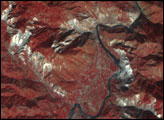
A combination of seismographic data and satellite imagery is making it easier for scientists to locate elusive landslides. In summer 2013, Landsat 8 helped pinpoint a slide in eastern Alaska.
Published Aug 30, 2013
Using seismometers and satellites, scientists identified a large landslide in southwestern Yukon.
Published Oct 20, 2015