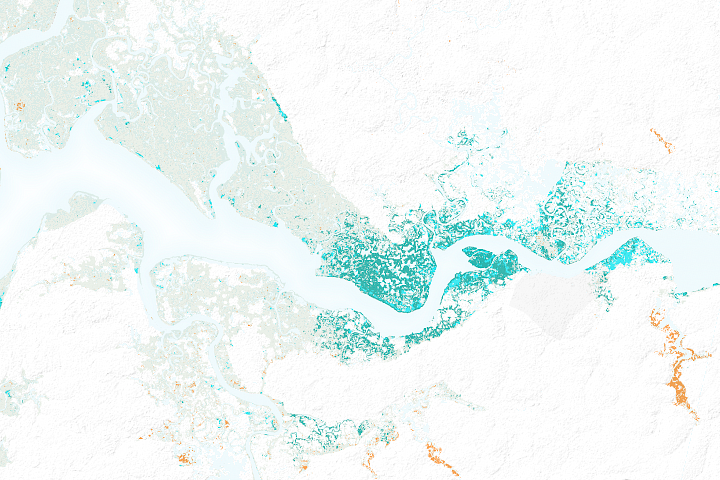
Aquaculture along the coast of the Gulf of Fonseca shows the delicate balance between coastal development and conservation.
Published Jun 15, 2012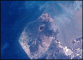
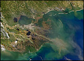
For decades, astronauts on space missions have documented land use changes around the world. Here, astronauts track the development of shrimp farming along the Honduran coastline of the Gulf of Fonseca between 1989 and 2001.
Published Jan 27, 2002

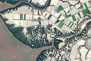
Along the delta of the Guadalquivir River, fish farming takes a more natural course.
Published Jun 19, 2017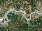
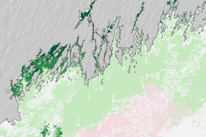
Landsat 8 can observe wavelengths of blue light that will make it easier to observe the swirl of life and water along the world’s coastlines.
Published May 31, 2013
After decades of decline, satellites show mangrove forests are covering more area and growing more densely in this West African country.
Published Mar 21, 2018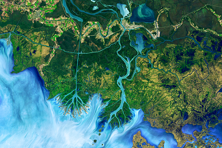
A new study shows that winds are responsible for the widespread growth of ponds in three watersheds along the Mississippi River.
Published Jul 6, 2017
When the Landsat archive is combined with modern computing power, scientists can view the planet not just across space, but also time.
Published Jun 11, 2013Image of the Day Land Unique Imagery Human Presence Remote Sensing
Finding promising aquaculture sites can be a challenge. Now seafood farmers may be getting some help from above.
Published Aug 25, 2017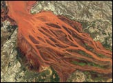
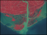
The Betsiboka Estuary on the northwest coast of Madagascar is the mouth of Madagascar’s largest river and one of the world’s fast-changing coastlines. Nearly a century of extensive logging of Madagascar’s rainforests and coastal mangroves has resulted in nearly complete clearing of the land and fantastic rates of erosion. After every heavy rain, the bright red soils are washed from the hillsides into the streams and rivers to the coast. Astronauts describe their view of Madagascar as “bleeding into the ocean.” One impact of the extensive 20th century erosion is the filling and clogging of coastal waterways with sediment—a process that is well illustrated in the Betsiboka estuary. In fact, ocean-going ships were once able to travel up the Betsiboka estuary, but must now berth at the coast.
Published Apr 12, 2004