Images related to MODIS Measures Total U.S. Leaf Area

First Complete Day from MODIS
Image

First Complete Day from MODIS

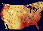
This image of Earth is a composite of the first full day of data gathered by the Moderate Resolution Imaging Spectroradiometer on the Terra spacecraft.

Published Jun 30, 2000

Image of the Day Atmosphere Land Water

Gross Primary Productivity
Image

Gross Primary Productivity

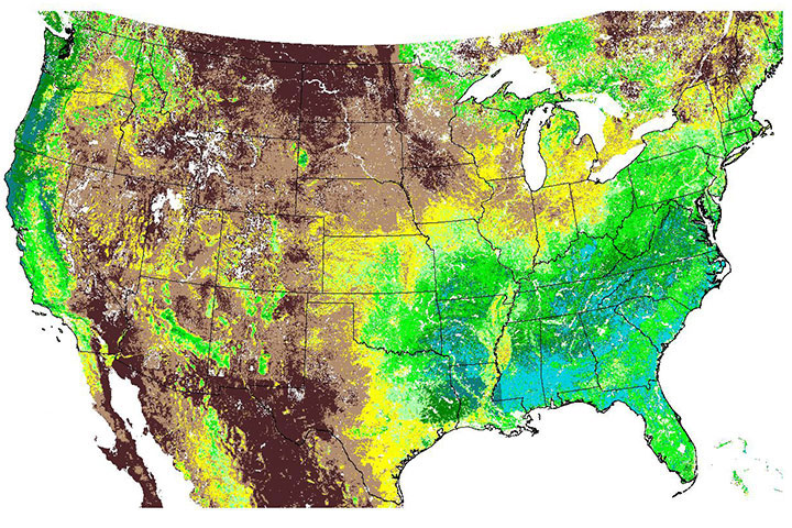
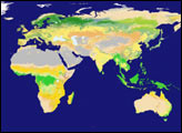
This map of plant photosynthesis was the first of its kind from the MODIS instrument, which was launched in December 1999 on the Terra spacecraft.

Published Jun 5, 2000

Image of the Day Land Life

MODIS Views Earth as a System
Image

MODIS Views Earth as a System

Published Apr 24, 2000

Image of the Day Land

Flooding from Tsunami near Sendai, Japan
Image

Flooding from Tsunami near Sendai, Japan

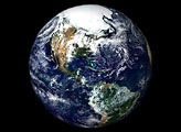
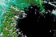
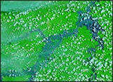
The Japanese coastline near Sendai is flooded in this false-color image, taken March 12, 2011, nearly a day after a earthquake-generated tsunami inundated the coast.

Published Mar 13, 2011

Image of the Day Land Earthquakes

Floods in Northeast Brazil
Image

Floods in Northeast Brazil

Published Apr 15, 2008

Floods