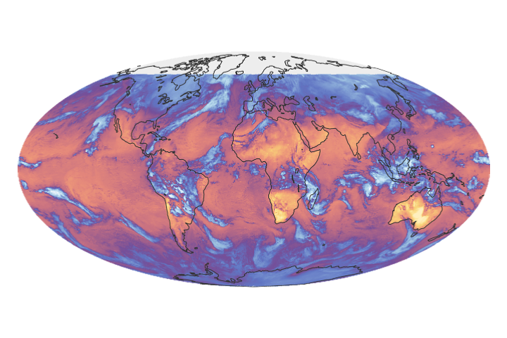
The CERES FM6 instrument measures the solar energy absorbed and reflected by Earth, the heat the planet emits into space, and the role of clouds in that process.
Published Jan 26, 2018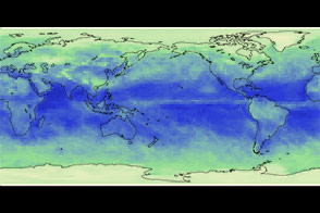
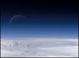
Atmospheric gases scatter blue wavelengths of visible light more than other wavelengths, giving the Earth’s visible edge a blue halo. At higher and higher altitudes, the atmosphere becomes so thin that it essentially ceases to exist. Gradually, the atmospheric halo fades into the blackness of space. This astronaut photograph captured on July 20, 2006, shows a nearly translucent moon emerging from behind the halo.
Published Feb 2, 2007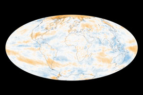
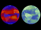
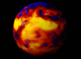
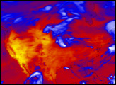
The global picture of how Earth reflects sunlight is a muddle, though several regional trends emerge.
Published Oct 21, 2014
Across two decades, the Terra satellite has been a great leap for Earth system science, observing how different spheres fit together as a whole.
Published Dec 18, 2019Image of the Day Atmosphere Heat Land Drought Fires Remote Sensing
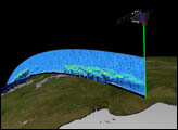
Orbiting the Earth at nearly 17,000 miles per hour, NASA's Ice, Cloud and land Elevation Satellite (ICESat) is collecting spectacular new three-dimensional measurements of the Earth's surface and atmosphere.
Published Dec 10, 2003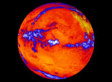

From one million miles away, the DSCOVR satellite returned its first view of the entire sunlit side of Earth.
Published Jul 21, 2015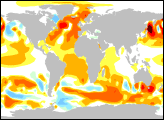
These maps show observed and modeled energy imbalances in the top 750 meters of the world’s oceans from 1993-2003.
Published Apr 29, 2005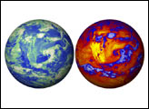
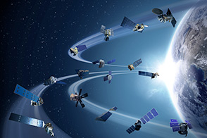
Sixteen operating satellites monitor Earth. Four more are scheduled to launch in 2014.
Published Jul 5, 2013