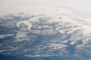
An astronaut caught an unlikely glimpse of a wide swath of Greenland, which is often cloud-covered and far from the northernmost orbit of the space station.
Published Sep 5, 2016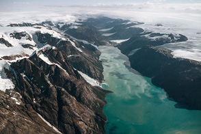
Historic photographs show glacial retreat since the early 1900s.
Published Dec 16, 2014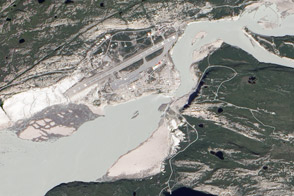
Acquired May 31, 2012, and July 12, 2012, these images compare conditions along the Watson River at Kangerlussuaq, which was struck by floods in July 2012.
Published Jul 27, 2012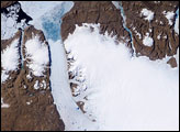
On Greenland, tens of thousands of years of snowfall have settled and solidified into a massive sheet of ice. Each summer, snow retreats briefly at low elevations, and a narrow strip of rocky coastline emerges. While some seasonal thawing is typical on Greenland, more dramatic changes are probably in store for the Greenland Ice Sheet in coming decades and centuries.
Published Aug 30, 2007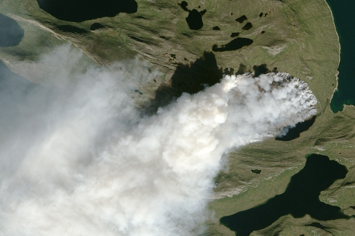
Scientists are using satellites to track a sizable wildfire burning along Greenland’s western coast.
Published Aug 12, 2017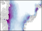
Fjords wind between icy, rocky islands and peninsulas, and connect inland areas to an ice-choked ocean.
Published Aug 3, 2018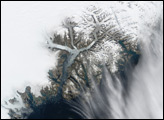
In October 2006, a study using data from NASA’s Gravity Recovery and Climate Experiment (GRACE) satellites discussed the condition of the Greenland Ice Sheet. The study determined that, although the ice sheet had gained some mass in the interior, it had lost considerably more mass along the perimeter, particularly southeastern Greenland.
Published Nov 25, 2006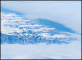
The image is highly oblique—taken from an angle looking outwards from the ISS, rather than straight down towards the Earth—and this perspective provides a sense of topography along the southern edge of Greenland. The exposed dark grey bedrock along the southwestern coastline has been carved by glaciers into numerous fjords, steep-sided valleys that drain directly into the ocean.
Published Aug 25, 2008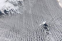
Cloud streets and von Karman vortices decorated the skies over the Greenland Sea on February 24, 2009.
Published Feb 26, 2009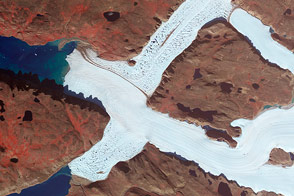
Crisscrossing glaciers in northwest Greenland flow along the path of least resistance.
Published Jan 22, 2015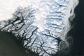
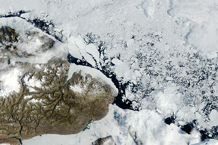
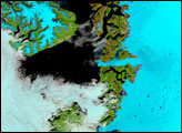
Captured near the end of 2012, this image shows a mixture of sea ice, land ice, and fresh snow.
Published Jan 6, 2013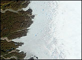
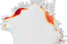
The northern fringes of Greenland's ice sheet saw extreme melting in 2008, according to NASA scientist Marco Tedesco and his colleagues.
Published Feb 25, 2009