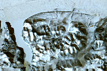
This late summertime shot captures sea ice and land ice in Russia’s northernmost territory.
Published Jan 7, 2012
Unlike the vegetated tundra of its neighboring islands, Bunge Land is a barren sandy plain that also serves as a land bridge.
Published Oct 5, 2020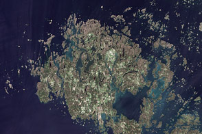
This summertime, natural-color image shows the Åland Islands between Sweden and Finland.
Published Sep 20, 2011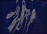
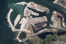
Acquired in 2006, 2009, and 2010, these natural-color images show the progress of land reclamation aimed at increasing the port capacity at Rotterdam.
Published Nov 28, 2010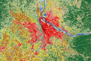
Satellites help land managers and city planners track city growth and ecosystem health around Portland, Oregon.
Published Aug 2, 2012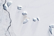
A guano stain betrays the location of an emperor penguin colony on Antarctic ice in this Landsat image from December 4, 2002.
Published Jun 5, 2009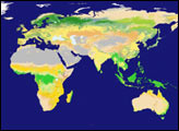
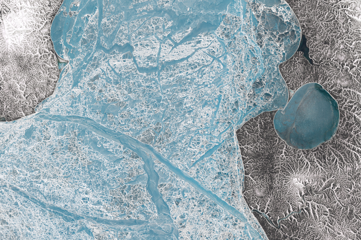
June is a time of transition around the New Siberian Islands as snowmelt uncovers the sea ice and gives way to bare land.
Published Dec 1, 2018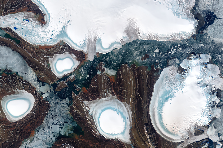
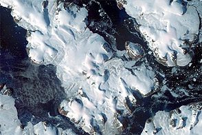
About half of this archipelago in the Russian high Arctic is covered in ice.
Published Oct 1, 2018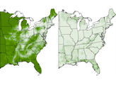
A series of maps showing land use in 1850 and 1920.
Published Feb 9, 2008
The landscape of the Kitikmeot region of Nunavut Territory was carved by ice and water.
Published Jul 13, 2012