Acquired June 23, 2011, this natural-color image shows the Wabash-Ohio confluence after 2011 spring floods retreated.
Published Jul 3, 2011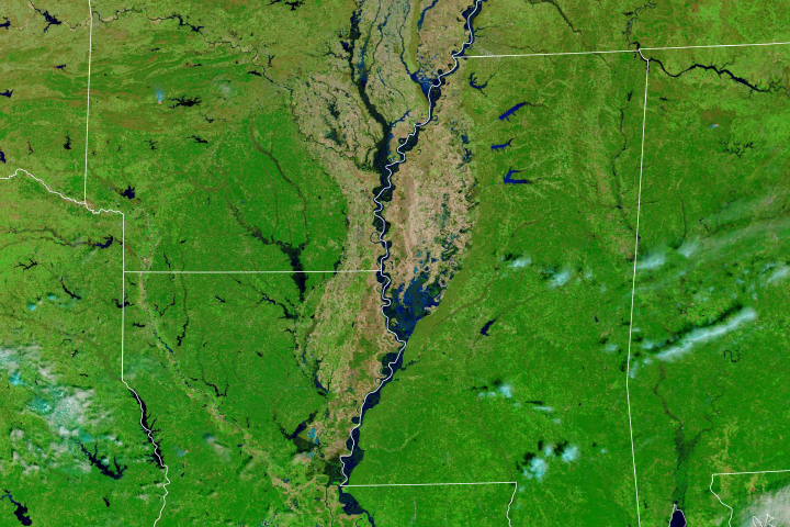
Much of the Lower Mississippi River was flooded in March.
Published Mar 20, 2019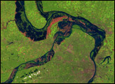
During the first half of 1993, the U.S. Midwest experienced unusually heavy rains. Much of the United States in the upper reaches of the Mississippi River drainage basin received more than 1.5 times their average rainfall in the first six months of the year, and parts of North Dakota, Iowa, and Kansas experienced more than double. The rains often arrived in very intense storms. Floods overwhelmed the elaborate system of dykes and other water control structures in the Mississippi River basin, leading to the greatest flood ever recorded on the Upper Mississippi. In St. Louis, the Mississippi remained above flood stage for 144 days between April 1 and September 30, 1993.
Published Apr 17, 2005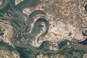
Acquired May 3, 2011, and June 4, 2011, these natural-color images show the Birds Point-New Madrid Floodway after the floodway was opened, and after flood waters receded.
Published Jun 7, 2011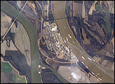
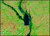
The Ohio River becomes a tributary of the Mississippi River directly south of Cairo, Illinois, a small city on the spit of land where the rivers converge. Brown, sediment-laden water flowing generally northeast to south from the Ohio River is distinct from the green and relatively sediment-poor water of the Mississippi River (flowing northwest to south). The color of the rivers in this image is reversed from the usual condition of a green Ohio and a brown Mississippi.
Published Feb 6, 2006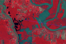
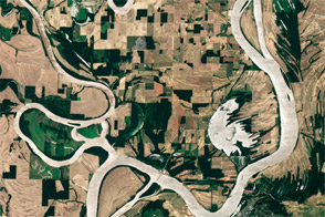
Observations by Landsat 1 from 1973 show the Morganza Floodway after its first and only opening in 57 years.
Published May 14, 2011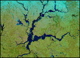
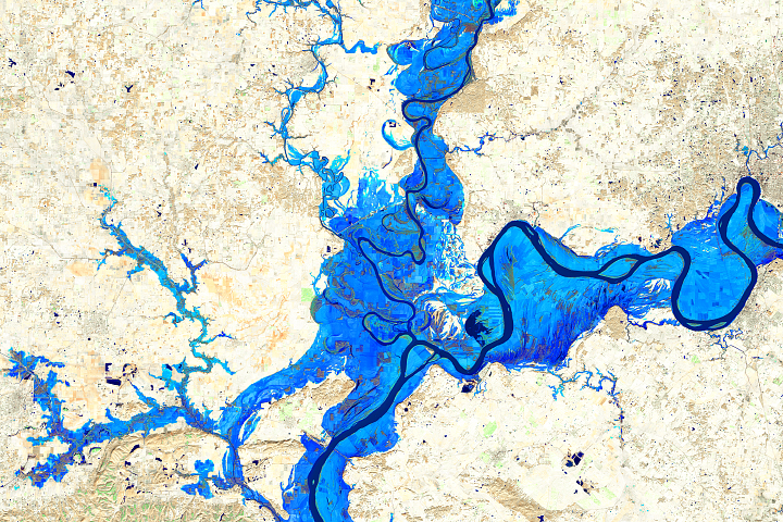
Heavy rain and snow swelled the rivers of Indiana, Illinois, and Kentucky, pushing many past flood stage during the first two weeks of January 2005. The flooding occurred after several days of rain and snow fell on the already saturated ground of the U.S. Midwest. Since the water could not be absorbed into the soaked ground, it ran off as flood water. The storms were followed by warm temperatures, which melted the snow and produced further flooding. By January 17, some of the flooding had started to recede, but large tracts of land along the Ohio and Wabash Rivers were still under water.
Published Jan 19, 2005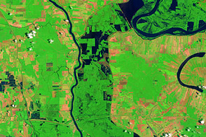
These false-color images compare conditions along the Mississippi River and Atchafalaya Basin in June 2011, during heavy flooding, and three years earlier.
Published Jun 13, 2011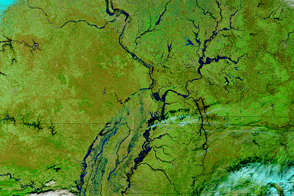
Parts of the Mississippi are swollen and spilling over its banks due to late December rains that are now flowing downstream.
Published Jan 5, 2016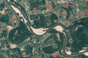
Coming off of the extreme floods of 2011, the river was approaching historic lows in the summer of 2012 near Memphis and along much of its lower reaches.
Published Aug 21, 2012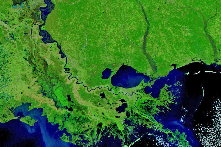
Persistent heavy rains in the first two months of 2020 have swelled rivers from Missouri to the Gulf of Mexico.
Published Feb 29, 2020Image of the Day Land Water Floods Severe Storms Human Presence Remote Sensing
What happens downriver can be largely affected by what happens upriver in the floodplains of major rivers.
Published Mar 15, 2018