The 2012 wildfire season has proven to be one of the most aggressive in the last decade.
Published Aug 24, 2012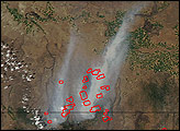

The reality of science, statistics, and satellites is that a deep understanding of the causes, effects, and severity of a fire season takes time.
Published Mar 3, 2020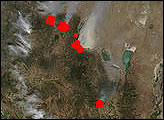
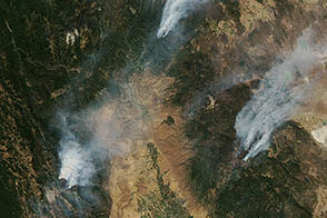
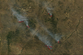
Dense smoke billows from two large fires burning in northern Mexico in this image, taken on April 9, 2011.
Published Apr 11, 2011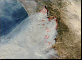
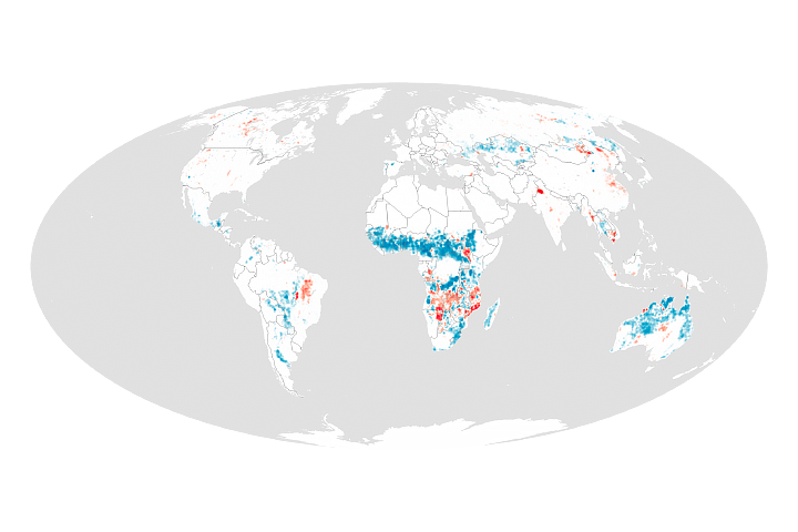
Changes in human settlement patterns and agriculture have led to less burning in grasslands, tropical forests, and savannas.
Published Jun 30, 2017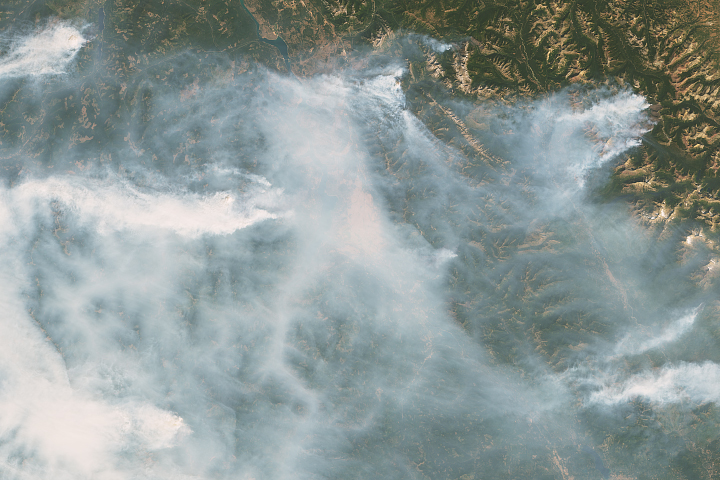
Thick smoke darkened skies over Lake Koocanusa in northern Montana.
Published Sep 5, 2017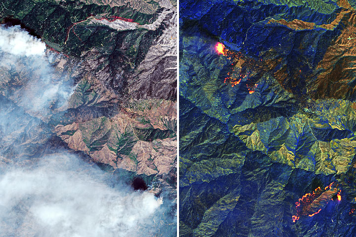
By early September 2020, more than a quarter million acres had burned within the August Complex fire in Mendocino National Forest.
Published Sep 3, 2020Image of the Day Atmosphere Heat Land Fires Human Presence Remote Sensing
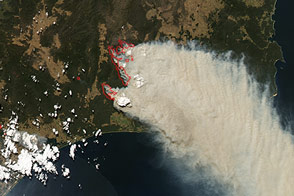
Fires in and around Snowy River National Park in southeast Victoria exploded on February 9 and 10, 2014.
Published Feb 10, 2014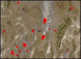
Several wildfires burn in southeastern Montana in this image from August 24, 2011.
Published Aug 26, 2011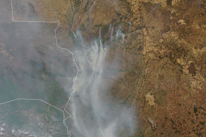
Drought-parched wetlands in South America have been burning for weeks.
Published Sep 17, 2020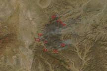
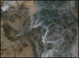
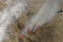
This image pair shows two large fires burning in the mountains of northern Mexico on April 3, 2011.
Published Apr 4, 2011