These satellite images show Tempe Town Lake before and after a rubber dam maintaining the reservoir burst.
Published Aug 8, 2010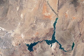
The water within a large, key reservoir in the southwestern United States has fallen to levels not seen since the 1930s.
Published Aug 18, 2015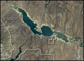
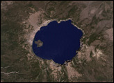
The most striking feature is Roosevelt Lake, an artificial lake created by the construction of Roosevelt Dam across the Salt River. The National Monument is surrounded by the Tonto National Forest, which includes low plains, desert scrubland, and alpine pine forests.
Published Sep 4, 2005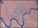
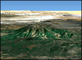
This isolated community near the northern Arizona border is of special interest because of its origin and location. Unlike other towns in the area, Page was created in 1957 to house workers and their families during the construction of nearby Glen Canyon Dam on the Colorado River. Its 17-square-mile site was obtained in a land exchange with the Navajo Indian tribe. The town is perched atop Manson Mesa at an elevation of 4,300 feet above sea level and 600 feet above Lake Powell.
Published Mar 23, 2003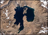
It one of the oldest parks in the United States, created in 1902 by President Theodore Roosevelt.
Published Jan 23, 2005
A change in rainfall patterns drowned this resort city in Argentina.
Published Sep 5, 2013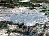
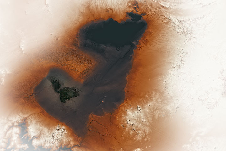
The spits etched into a desert in Chad were actually formed thousands of years ago along the shores of a vast lake.
Published Feb 17, 2020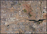
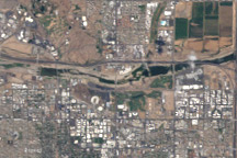
The Phoenix, Arizona, metropolitan area is the largest in the southwestern United States. This astronaut photograph of the central metro region includes the boundary area between three of the municipalities included in the conurbation of Phoenix: the cities of Phoenix (left), Tempe (center and lower right), and Scottsdale (upper right).
Published Jun 5, 2006
In August 2010, Lake Mead reached its lowest level since 1956, the result of a persistent drought and increasing human demand.
Published Sep 23, 2010