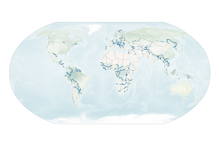
A new dataset reveals interesting patterns about where and why rivers define national borders.
Published Sep 17, 2020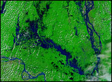
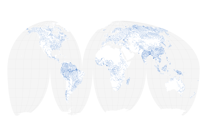
A new map of the world’s rivers and their widths shows that surface waterways are collectively wider and cover more area than previously thought.
Published Jul 18, 2018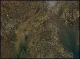
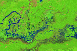
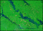
The course of the Maniqui and other small rivers in the Amazon Basin can shift dramatically in just a few years.
Published Dec 21, 2016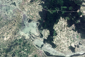
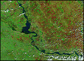
The swollen Sava River covers at least three towns in this image. It is one of many flooded rivers in the Balkan states.
Published May 25, 2014
As they prepare for a satellite that will measure the height and areal extent of rivers in unprecedented detail, hydrologists have released a better map of North American river widths.
Published Jul 9, 2015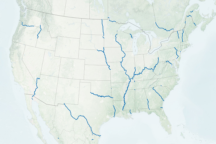
Many state and local boundaries around the world—including many in the United States—are the product of rivers.
Published Sep 8, 2020
In a country rich with compelling geologic phenomena, even the rivers are connected to the landscape of fire and ice.
Published Aug 6, 2019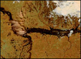
Heavy rain and snow swelled the rivers of Indiana, Illinois, and Kentucky, pushing many past flood stage during the first two weeks of January 2005. The flooding occurred after several days of rain and snow fell on the already saturated ground of the U.S. Midwest. Since the water could not be absorbed into the soaked ground, it ran off as flood water. The storms were followed by warm temperatures, which melted the snow and produced further flooding. By January 17, some of the flooding had started to recede, but large tracts of land along the Ohio and Wabash Rivers were still under water.
Published Jan 19, 2005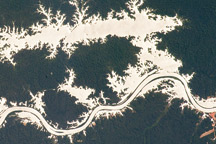
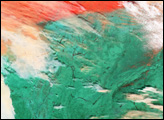
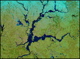
In this astronaut photo, the mirror-like reflection of sunlight off water makes the Trombetas River and Lake Erepecu in the Brazilian Amazon stand out from the deep green forest.
Published Sep 21, 2009