From the time Europeans discovered the North American continent to the mid-twentieth century, sailors searched for a northwest passage that would connect the Atlantic Ocean (and Europe) to the Pacific Ocean (and Asia). No such passage exists through the continent, but during the summer, a northwest route through the Arctic opens up.
Published Aug 1, 2006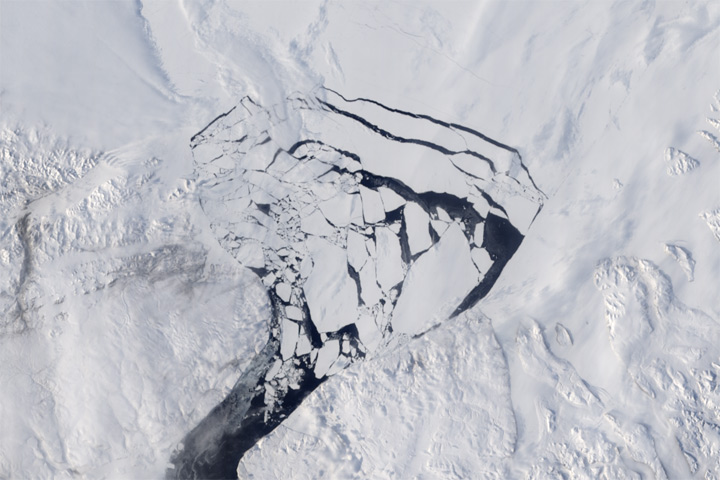
An arch of pack ice usually prevents Arctic sea ice from flowing down the Nares Strait. That arch broke up early this year.
Published May 20, 2017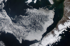
Acquired April 11 and 24, 2012, these images show the movement of sea ice in the Bering Sea with the advance of spring.
Published May 6, 2012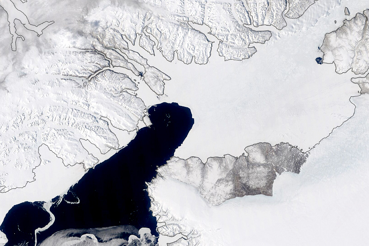
This natural gatekeeper, which prevents sea ice from exiting the Arctic Ocean and drifting southward into Baffin Bay, was still intact in late May 2020.
Published Jun 3, 2020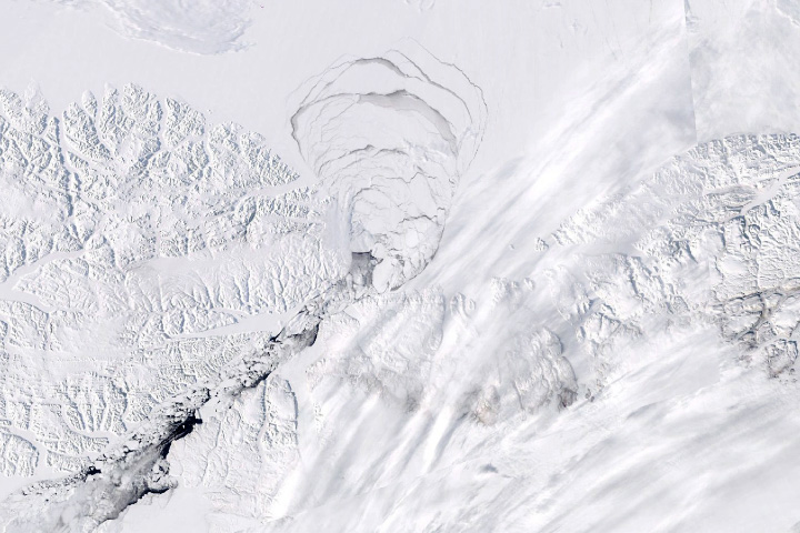
The structure that prevents sea ice from exiting the Arctic Ocean through the Nares Strait crumbled months earlier than usual.
Published Jun 26, 2019
In 1984, there were 1.86 million square kilometers of old ice spread across the Arctic at its yearly minimum extent. In September 2016, there were only 110,000 square kilometers of old ice left.
Published Nov 4, 2016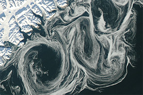
Thin sea ice swirled along the east coast of Greenland in October 2012, against a backdrop of overall thinning sea ice.
Published Oct 27, 2012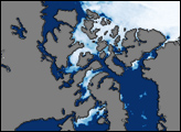
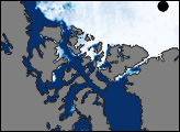
This image shows sea ice around the Northwest Passage as observed by the Advanced Microwave Scanning Radiometer for EOS (AMSR-E) aboard NASA’s Aqua satellite on August 22, 2007. McClure Strait, Parry Channel, Victoria Strait, and McClintock Channel (north of Victoria Strait), all appear nearly ice-free. North of McClure Strait, an area of sea ice remains, but it is fragmented.
Published Aug 28, 2007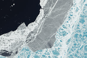
A mixture of ice types exists where frozen water meets open water.
Published Mar 11, 2015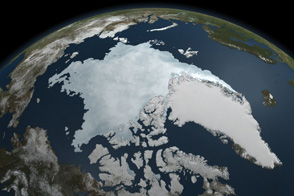
This animation shows Arctic sea ice shrinking to a near record minimum in the summer of 2011.
Published Sep 22, 2011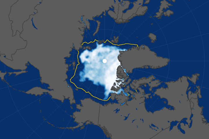
Arctic sea ice has been retreating the fastest in the Beaufort Sea.
Published Oct 18, 2017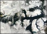
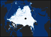
On September 15, 2007, the Moderate Resolution Imaging Spectroradiometer (MODIS) on NASA’s Terra satellite captured a largely cloud-free image of the Northwest Passage. Although the sea route had been characterized as nearly open weeks earlier, persistent cloud cover prevented a MODIS true-color image of the open route.
Published Sep 24, 2007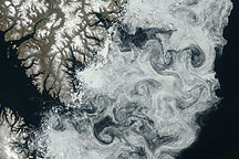
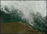
Sea ice formed delicate swirls along the coast of Baffin Island in this true-color image acquired July 11, 2009.
Published Jul 24, 2009