Operation IceBridge, an aerial ice surveying mission, has plenty of area to cover.
Published May 9, 2014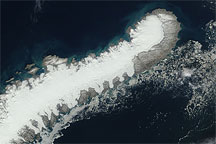
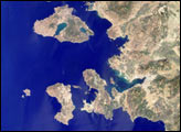
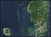
This true-color image of Novaya Zemlya from July 27, 2009, shows a glacier-capped northern island surrounded by mostly open ocean water.
Published Jul 30, 2009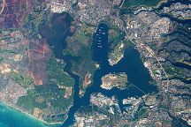
An astronaut captured this photo of the historic stretch of southern coastline of Oahu.
Published Dec 7, 2009
Located on the highly populated Hawaiian island of Oahu just west of Honolulu, Pearl Harbor is the historic center of events on “the day that will live in infamy”—December 7, 1941—when the Japanese fleet launched a surprise air attack on Pearl Harbor and other strategic military targets on Oahu. The ISS-6 Space Station crew obtained this high-resolution image of Pearl Harbor in March 2003, enabling detailed observations of the harbor and its multiple uses.
Published Jul 12, 2004
This natural-color image shows Henrietta Island, with a smooth, dome-capped surface and a rugged coastline, illuminated by low-angled sunlight.
Published May 3, 2009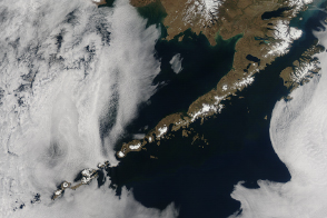
The volcanic Aleutian Islands stretch far from North America into the Pacific Ocean like stepping stones to Asia.
Published Jun 7, 2014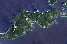
Acquired September 17, 2005, this true-color image shows Tortola, the largest of the British Virgin Islands. Also shown are Tortola’s smaller neighbors: Guana Island, Grand Camanoe, and Beef Island.
Published Nov 29, 2009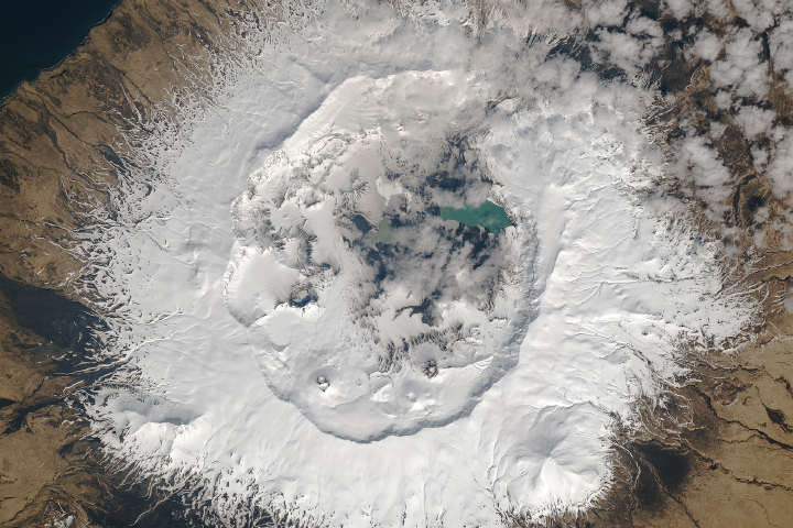
Landsat caught a rare glimpse of the third-largest Aleutian Island.
Published Oct 20, 2017
A new survey observes that 12.7 percent of all barrier islands—a total of 272—surround the Arctic Ocean.
Published Jun 16, 2011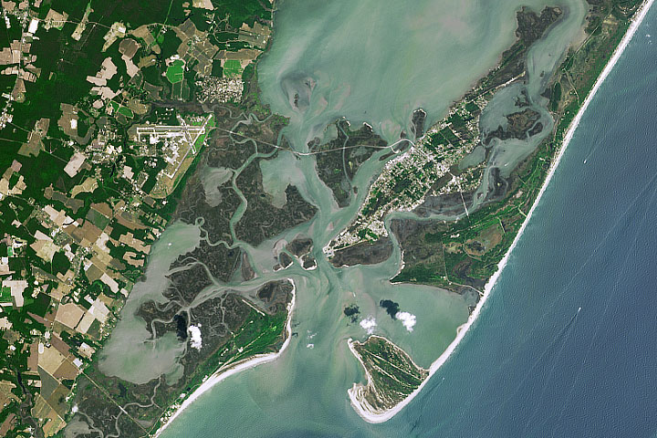
Assateague, Chincoteague, and Wallops provide a rare example of overlapping barrier islands. All of them are constantly in motion.
Published Oct 9, 2019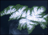
Attu Island is so far west, it’s actually in the Eastern Hemisphere. It is the westernmost of Alaska’s Aleutian Islands, even farther west than the Hawaiian Islands.
Published Jul 5, 2006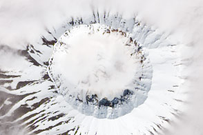
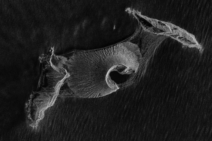
One of Alaska’s Islands of the Four Mountains, this classic stratovolcano stands quietly next to a more active neighbor.
Published Nov 23, 2014
Against the odds, the landmass that exploded and oozed into existence in early 2015 is now nearly five years old.
Published Nov 19, 2019