
50 trillion pixels of Landsat data give researchers a lot of opportunities to look at Earth processes on scales from days to decades.
Published Apr 16, 2015
A composite view of the United States represents one of the ways scientists are exploring Landsat 8’s capabilities.
Published Feb 11, 2014
What does Landsat have in common with the Gutenberg Bible, Tolstoy’s personal library, and the Book of Kells?
Published Nov 24, 2011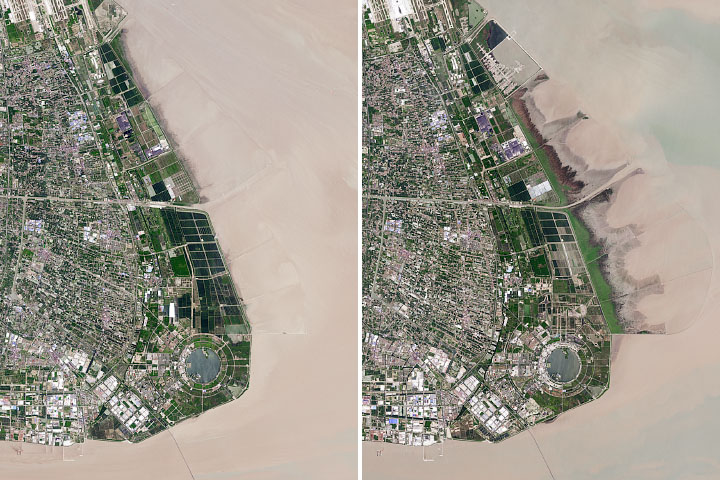
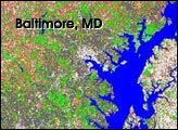
The Chinese city has reclaimed land from shallow coastal waters at a rapid rate.
Published Dec 11, 2019
When the Landsat archive is combined with modern computing power, scientists can view the planet not just across space, but also time.
Published Jun 11, 2013Image of the Day Land Unique Imagery Human Presence Remote Sensing
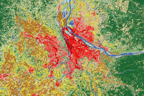
Satellites help land managers and city planners track city growth and ecosystem health around Portland, Oregon.
Published Aug 2, 2012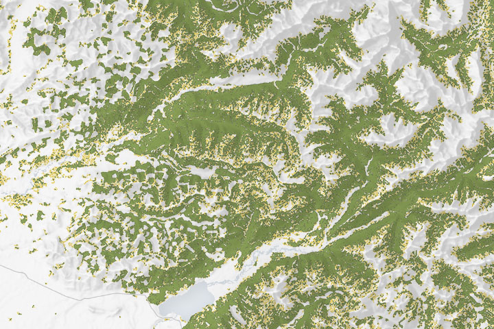
Maps of forest cover type show where the composition and structure of the forest is sufficient for the threatened species to nest and roost.
Published Dec 18, 2019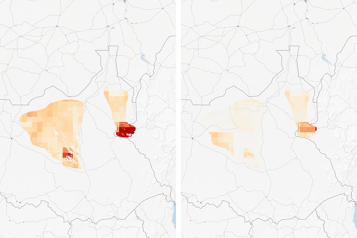
Researchers examined how human land use will affect species habitats around the world.
Published Jul 22, 2019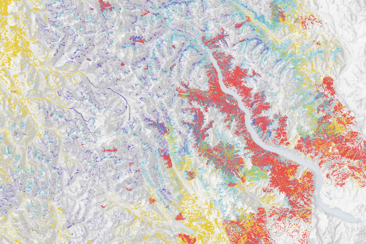
Wildfires make a significant mark on the bird’s nesting and roosting habitat.
Published Dec 23, 2019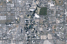
Las Vegas experienced rapid growth between 1984 and 2009, and the growth was recorded by NASA’s long-lived Landsat 5 satellite.
Published Mar 1, 2009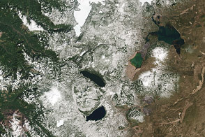
The Cascade Mountains and nearby forests and lakes provide a good test of the visual range of the new LDCM satellite.
Published Apr 30, 2013
To overcome a loss of wetland habitat, researchers turn to big data, binoculars, and rice paddies.
Published Sep 25, 2015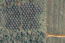
Acquired May 27, 2003, this true-color Landsat ETM image shows part of a plantation in Malaysian Borneo, along the edge of the forest. The area outlined in white in the ETM image appears in greater detail in the image acquired on June 18, 2002, by the commercial satellite Ikonos. The images show the differences between forest, cleared land, and palm plantation.
Published Sep 10, 2009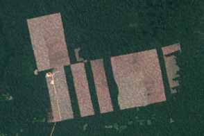
Free, open-access imagery helps scientists monitor remote areas and protect tropical forests.
Published Nov 19, 2013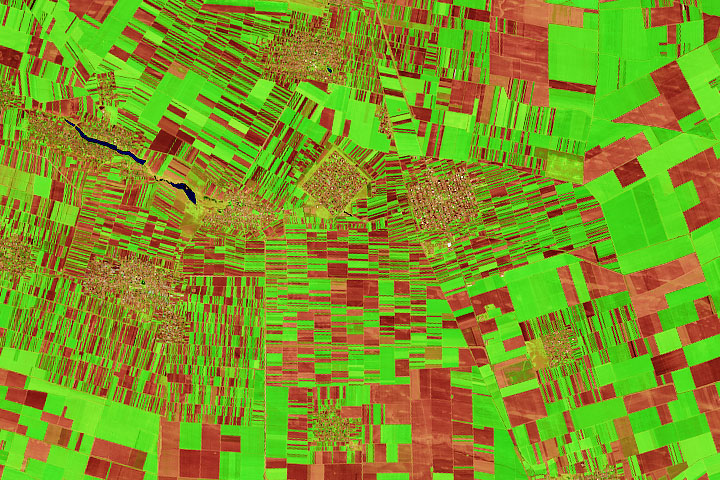
Farms in the historic Oltenia province display a compelling array of shapes and sizes.
Published Oct 14, 2020
This image of the Dallas metro area was the very first image in the archives of the Landsat mission, launched in 1972.
Published Jul 23, 2012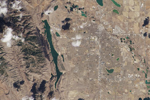
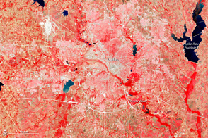
One of the satellite’s first uncalibrated images showed where the Front Range meets the Great Plains in Colorado.
Published Mar 22, 2013