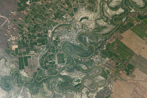
The landscape near the southern Murray River contrasts fertile farmland with dry lakes.
Published Apr 24, 2017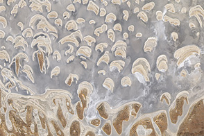
Western Australia’s Lake Dundas is a salt lake in a dry environment, but it once sat along a drainage channel with headwaters in Antarctica.
Published Jan 17, 2012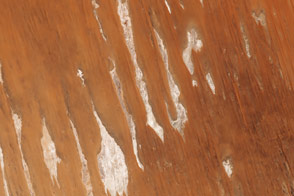
Long, parallel dunes cross borders in one of Australia’s driest deserts.
Published Oct 16, 2015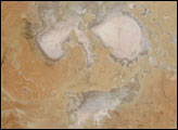
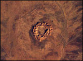
This image shows Gosses Bluff, an impact crater sandwiched between the Macdonnell Range to the north and the James Range to the south in Australia’s Northern Territory—it is about 160 km west of Alice Springs. It is one of the most studied of the Australian impact craters. The impactor, an asteroid or comet, was probably about 1 km in diameter and crashed into the earth about 142 million years ago.
Published Jun 15, 2003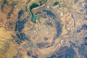
The Shoemaker impact site in Australia may have been formed as long as 1.63 billion years ago.
Published Jul 18, 2011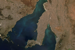
Colorful ocean water spread across the Spencer Gulf and Gulf St Vincent.
Published Feb 29, 2016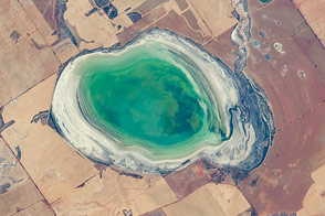
Fresh rains partly fill a normally dry lake bed near Perth.
Published Apr 18, 2016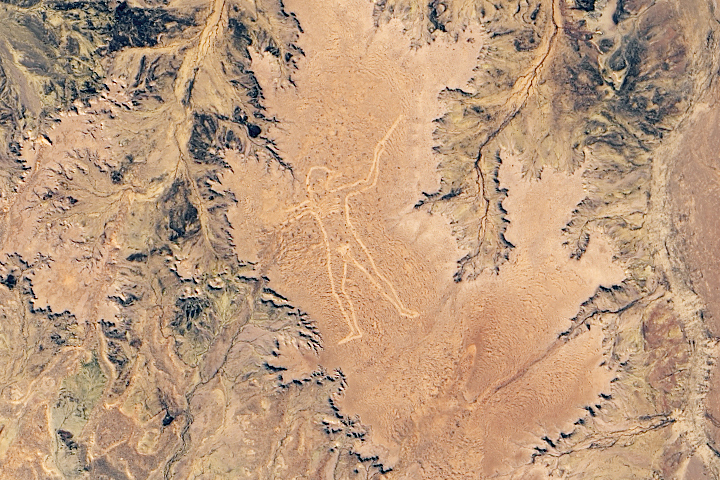
It is unclear who created the giant geoglyph or why, but the large earthen figure has drawn attention to a remote part of South Australia for two decades.
Published Dec 29, 2019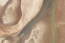
Acquired on April 10, 2010, and and March 7, 2009, these natural-color images show changes in a central Australian saltpan, Lake Frome. In 2010, water has seeped into the salt lake, leaving standing water in some areas and muddying much of the ground surface.
Published Apr 14, 2010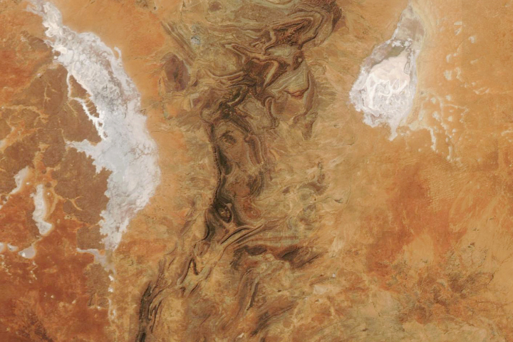
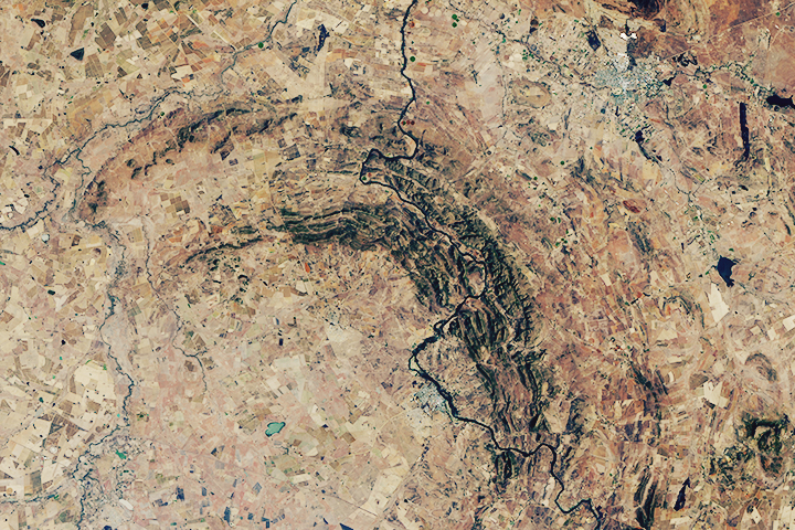
The Flinders Ranges—the largest mountain range in South Australia—is a classic example of a folded mountain range.
Published May 4, 2019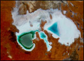
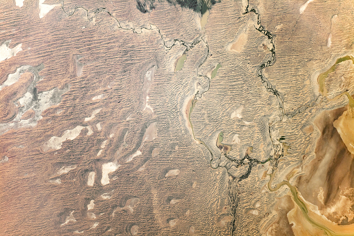
Fantastic dunes stand alongside one of the world’s largest internally draining river systems.
Published Sep 29, 2019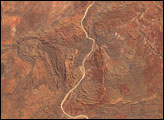
The world’s oldest and largest known impact structure shows some of the most extreme deformation conditions known on Earth.
Published Sep 1, 2018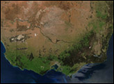
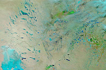
Acquired January 14, 2011, and December 29, 2010, these false-color images show changes to Australia’s interior caused by heavy rains.
Published Jan 14, 2011