Many farmers in Maryland plant winter cover crops—a practice that reduces how much pollution flows into Chesapeake Bay.
Published Apr 26, 2017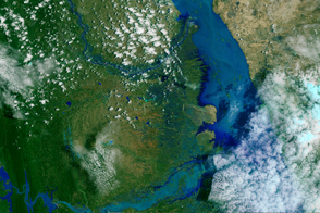
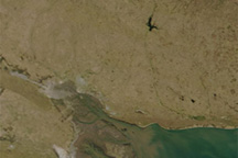
Heavy monsoon rains caused rivers to swell across Burma (Myanmar), leading to most severe flooding the country has seen in decades.
Published Aug 13, 2015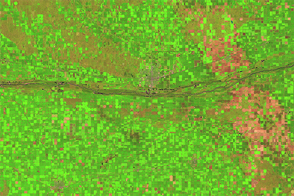
Shades of green change to brown as crops are gathered from the farmland around the Platte River.
Published Dec 7, 2014
When the Landsat archive is combined with modern computing power, scientists can view the planet not just across space, but also time.
Published Jun 11, 2013Image of the Day Land Unique Imagery Human Presence Remote Sensing
This pair of natural-color (photo-like) images from the Moderate Resolution Imaging Spectroradiometer (MODIS) on NASA’s Terra satellite contrasts 2009 conditions in southern Buenos Aires province with the conditions in 2008, a more normal year.
Published Feb 24, 2009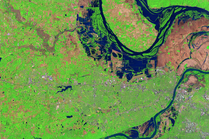
Heavy rains and strong storms caused flooding along the Mississippi, Missouri, and Illinois rivers.
Published May 17, 2017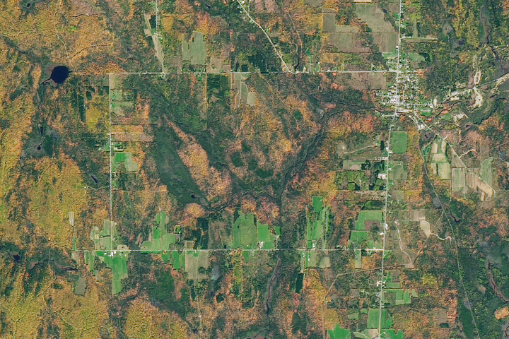
In October, the state transitions form north to south with vibrant displays of peak autumn foliage.
Published Oct 22, 2017
Figuring out how to sustain the world’s growing population is a challenge that satellites can help resolve.
Published Dec 9, 2011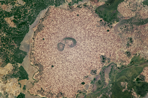
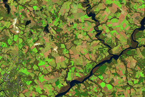
Standing beside floodplains and wetlands, the highlands are packed with farms.
Published Apr 3, 2017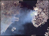

A composite view of the United States represents one of the ways scientists are exploring Landsat 8’s capabilities.
Published Feb 11, 2014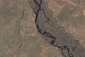
Fifty-six images were stitched together to present a seamless mosaic of what the newest Landsat saw on April 19, 2013. Here are some highlights of the satellite tour.
Published May 16, 2013
50 trillion pixels of Landsat data give researchers a lot of opportunities to look at Earth processes on scales from days to decades.
Published Apr 16, 2015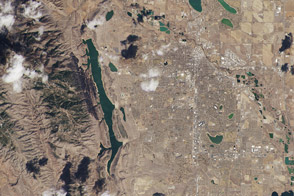
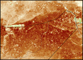
One of the satellite’s first uncalibrated images showed where the Front Range meets the Great Plains in Colorado.
Published Mar 22, 2013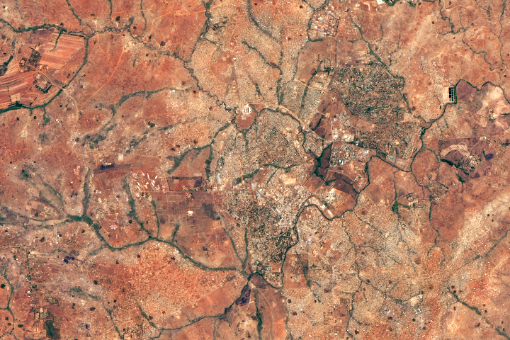
A fishing town became a bustling city after Malawi’s president moved the capital there.
Published Dec 19, 2018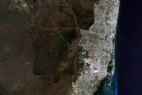
The variety of landscapes in southeastern Florida and the northern Everglades illustrates why you might want to see the world in false color.
Published Apr 1, 2014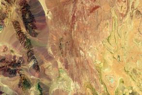
False-color satellite imagery offers insight that goes beyond what the human eye can see.
Published Mar 6, 2016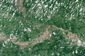
Record-setting rainfall in the southern United States has sent several rivers and lakes over their banks and caused extensive damage in Texas, Oklahoma, Arkansas, and other areas.
Published May 29, 2015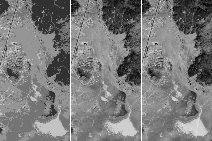
Being able to see traces of human history in satellite imagery is dependent on what details can be resolved on a given image. There are four main types of image resolution.
Published Oct 4, 2017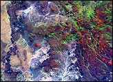

What does Landsat have in common with the Gutenberg Bible, Tolstoy’s personal library, and the Book of Kells?
Published Nov 24, 2011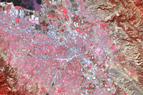
Two images acquired more than four decades apart show the development of the technology behind Landsat’s satellite sensors.
Published Feb 5, 2017