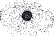
Approximately 19,000 manmade objects larger than 10 centimeters orbit the Earth. These images, based on models, show the distribution of orbital debris around Earth.
Published Sep 12, 2009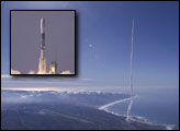
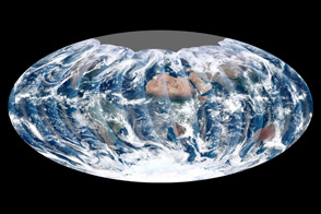
Looking down from 512 miles, the newly launched NPP satellite offers up its first gap-free view of Earth.
Published Dec 16, 2011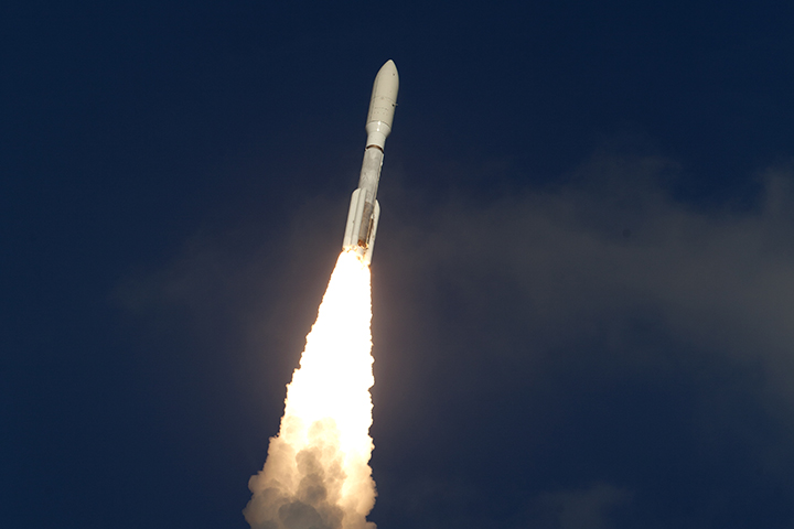
A satellite in a geostationary orbit is in a “sweet spot” in which it orbits at the same speed that Earth rotates.
Published Mar 4, 2018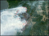
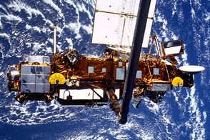
Twenty years ago this month, astronauts on the space shuttle Discovery used the spacecraft's robotic arm to launch the Upper Atmosphere Research Satellite into orbit around the Earth.
Published Sep 24, 2011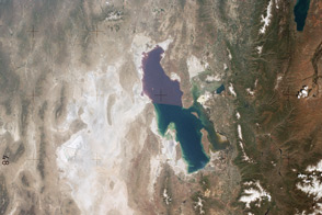
America's first space station was launched forty years ago. Astronauts on Skylab conducted some the first comprehensive visual studies of Earth’s surface.
Published May 14, 2013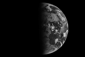
The four changes of the seasons, related to the position of sunlight on the planet, are captured in this view from Earth orbit.
Published Sep 23, 2011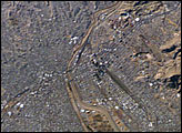
This image of the El Paso-Juárez area on the U.S.-Mexico border is the 100,000th photograph of Earth that astronauts have taken from the International Space Station. It was taken on January 26, 2004, by Expedition 8 crewmembers. The Rio Grande can be seen meandering through the area, forming the boundary between the sister cities of El Paso, Texas and Juárez, Chihuahua. North is to the right in this image, and the setting sun has cast the east side of the Sierra Juárez and Franklin Mountains into shadow.
Published Feb 9, 2004