Sand dunes and outcrops add color and dimension across the Namib Sand Sea.
Published Jan 13, 2020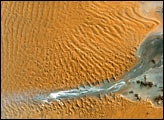
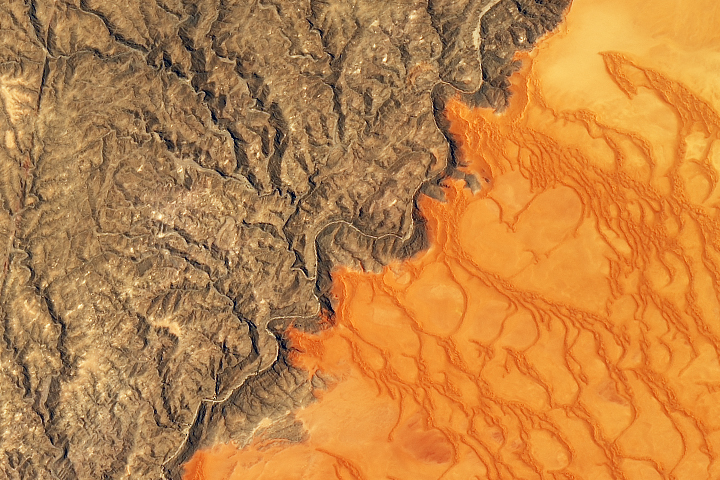
Namibia’s sea of sand is bounded on its northern side by the impermanent Kuiseb River.
Published Jan 2, 2020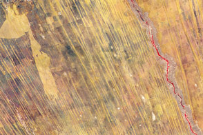
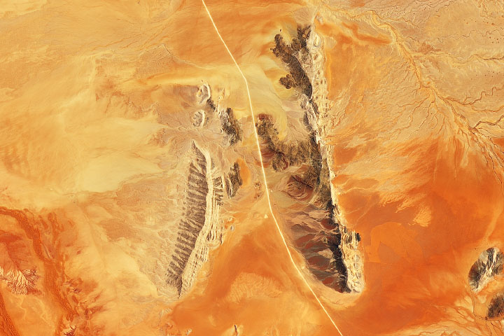
Linear dunes dominate the landscape of eastern Namibia. Part of the Kalahari Desert, the dunes likely formed more than 10,000 years ago.
Published Dec 4, 2011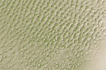
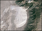
This digital elevation map of the Badain Jaran Desert shows multi-generation dunes, with smaller dunes resting atop larger ones.
Published Apr 20, 2011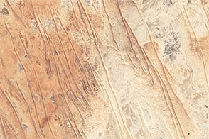
Linear dunes and ephemeral streams converge on the eastern margin of the Simpson Desert in a region known for its floods.
Published Sep 15, 2012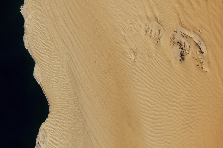
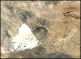
Scattered in a sea of sand, inselbergs in Namibia host ecology uniquely influenced by fog.
Published Sep 4, 2018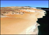
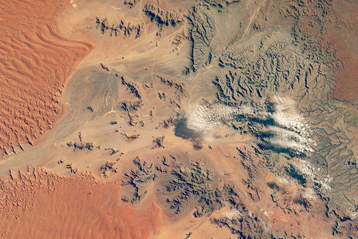
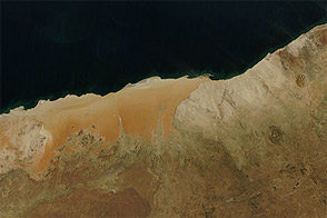
In a land with little water, the wind does the landscaping most of the time. Ephemeral water leaves a mark, though.
Published Jul 29, 2018
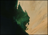
Acquired June 26, 2011, this natural-color image shows the deserts along the coastline of Namibia; most of that land has been protected by the government.
Published Oct 18, 2011