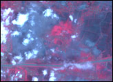
Lusi, the world’s largest and fastest growing mud volcano, had developed the mound-like shape of a volcano when this false-color image was acquired in October 2009, two and a half years after its birth.
Published Feb 4, 2010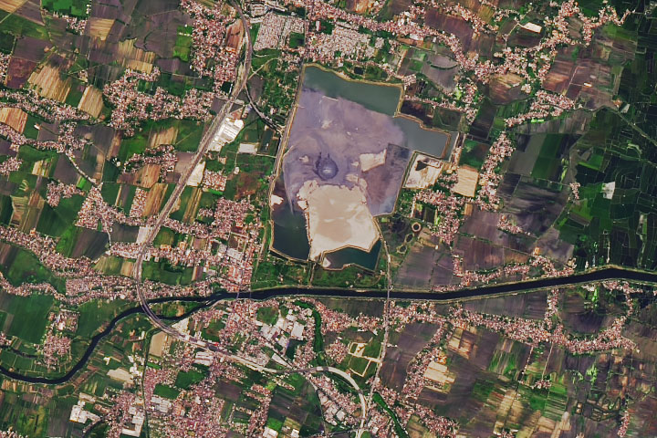
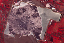
More than a decade after boiling mud began spurting from the ground in East Java, the Lusi mud flow is still going strong.
Published Jun 21, 2019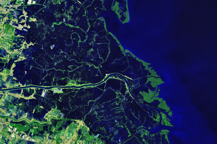
Downstream of the Lusi mud flow, mangrove forests are expanding onto new land and shrimp farmers are adjusting to a muddier reality.
Published Jun 24, 2019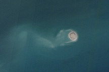
The tiny island shown in this image from January 11, 2011, is a mud volcano, newly emerged from the Arabian Sea.
Published Jan 21, 2011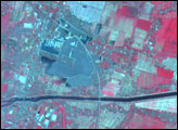
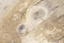
This image from February 11, 2010, shows several mud volcanoes that rise from the desert landscape of southern Pakistan, along the coast of the Arabian Sea.
Published Mar 14, 2010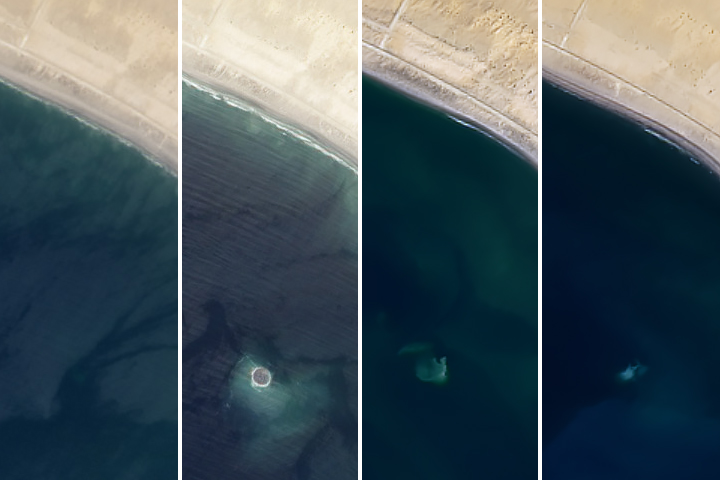
A tiny island birthed by an earthquake and a mud volcano has faded into the sea.
Published Jul 5, 2019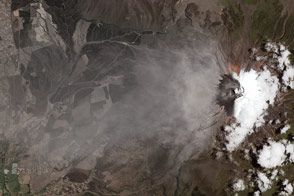
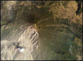
In August 2015, Cotopaxi volcano awoke with its first significant eruption in more than 70 years.
Published Sep 16, 2015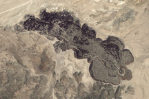
Mud Springs Volcano, part of the Aurora-Bodie Volcanic Field in western Nevada, produced distinctive thick and bulbous lava flows.
Published May 8, 2011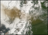
The eruption of Santa Maria volcano in 1902 was one of the largest eruptions of the 20th century, forming a large crater on the mountain’s southwest flank. Since 1922, a lava-dome complex, Santiaguito, has been forming in the 1902 crater. Growth of the dome has produced pyroclastic flows as recently as the 2001—they can be identified in this image. The volcano is considered dangerous because of the possibility of a dome collapse such as one that occurred in 1929, which killed about 5000 people. A second hazard results from the flow of volcanic debris into rivers south of Santiaguito, which can lead tocatastrophic flooding and mud flows.
Published Feb 24, 2002