You can almost sense the invisible tectonic forces within the Earth when you look at this geological icon from space.
Published Apr 14, 2014
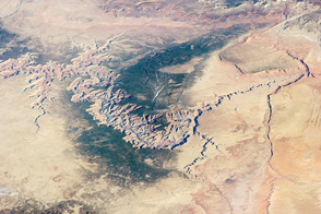
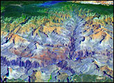
The geology of the Grand Canyon has amazed visitors since John Wesley Powell first navigated the Colorado River in 1869. Now the Landsat Data Continuity Mission (LDCM) offers a new view of the gorge.
Published Apr 20, 2013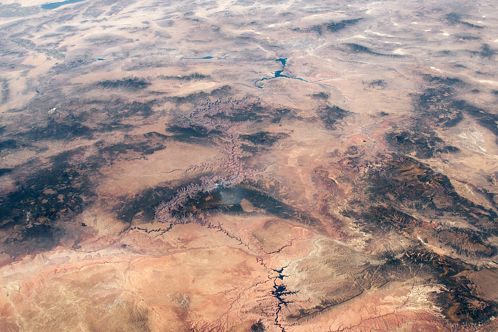
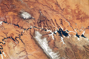
Ancient geologic features and modern creations share the spotlight in this photo of southeastern Utah and northern Arizona taken from the ISS.
Published Feb 23, 2020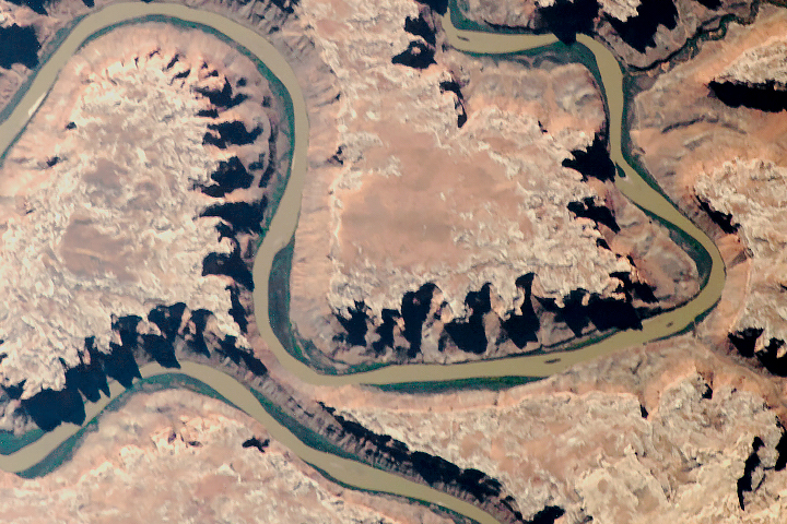
The old river has cut compelling patterns and formations into the red rocks of Utah.
Published Sep 18, 2018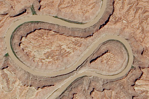
A double oxbow etched into the Colorado Plateau in Canyonlands National Park likely got its shape from an ancestral river.
Published Jun 18, 2014
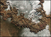
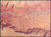
Striking landforms and broad vistas mark the Utah-Arizona border region of the Colorado Plateau.
Published Mar 25, 2013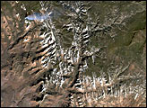

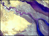
Parts of the Glen Canyon that John Wesley Powell explored in 1869 have been submerged by Lake Powell.
Published Oct 16, 2016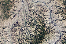
This natural-color image of Hells Canyon was captured by NASA’s Landsat-7 satellite on September 19, 2002. The image shows the northern part of the canyon, where the Imnaha River joins the Snake River.
Published Mar 8, 2009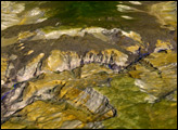
he largest tributary of the Colorado River between Lake Powell and the Grand Canyon, the Paria River flows southeast from its headwaters in southernmost Utah to join the Colorado River between Page, Arizona, and Marble Canyon. The Paria River provides spectacular scenery, and is known for the very narrow “slot” canyons that it cuts through the layered rocks of the Colorado Plateau.
Published Jun 23, 2008