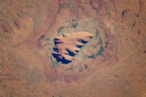
This ancient rock is one of Australia’s major tourist attractions and a sacred place for indigenous people.
Published Dec 19, 2016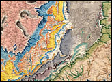
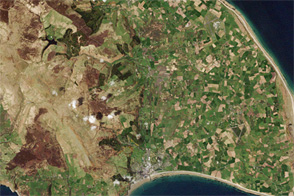
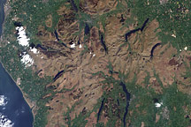
Acquired May 7, 2000, this natural-color image shows the Lake District National Park of North West England.
Published Dec 26, 2010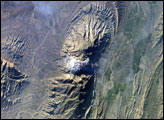
The Zagros Mountains in southwestern Iran present an impressive landscape of long linear ridges and valleys. Formed by collision of the Eurasian and Arabian tectonic plates, the ridges and valleys extend hundreds of kilometers. Stresses induced in the Earth’s crust by the collision caused extensive folding of the preexisting layered sedimentary rocks. Subsequent erosion removed softer rocks, such as mudstone and siltstone while leaving harder rocks, such as limestone and dolomite. This differential erosion formed the linear ridges of the Zagros Mountains. This astronaut photograph of the southwestern edge of the Zagros mountain belt includes another common feature of the region—a salt dome (Kuh-e-Namak or “mountain of salt” in Farsi).
Published Apr 17, 2006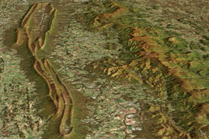
Despite being quite close to each other, two mountain ridges in western Virginia have very different origins.
Published Mar 15, 2017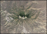
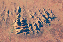
Afternoon sunlight highlights the rounded summits and eroded fractures of the Kata Tjuta rock formation in this astronaut photo from April 30, 2010.
Published May 24, 2010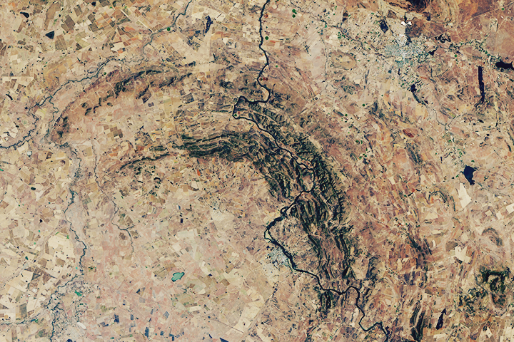
The world’s oldest and largest known impact structure shows some of the most extreme deformation conditions known on Earth.
Published Sep 1, 2018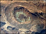
Upheaval Dome is a striking geologic structure in the Canyonlands National Park of southern Utah. The alternating rock layers make a nearly circular, 5.5-kilometer- (3.4-mile-) diameter “bull’s-eye.” This photograph of Upheaval Dome was taken by an astronaut onboard the International Space Station. The oblique viewing angle—in other words, not looking straight down—provides a sense of the topography within and around the structure. The dome appears more like an ellipse than a circle due to the oblique viewing perspective.
Published Jul 23, 2007
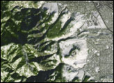
Acquired January 16, 2005, this true-color image shows part of the inhospitable limestone landscape of western Madagascar, with bare rocks and vegetation forming a patchwork of gray and green.
Published Nov 27, 2009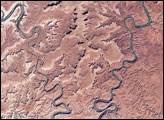
This park in Utah encompasses some of the most remote and rugged terrain in the continental United States.
Published Jan 3, 2008