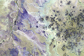
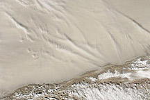
Acquired March 28, 2009, these images provide two views of Arizona’s Painted Desert.
Published Jul 17, 2011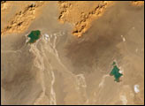
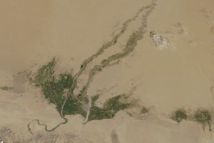
Even in China’s largest, driest, and hottest desert, vegetation sprouts in the spring.
Published May 5, 2020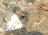
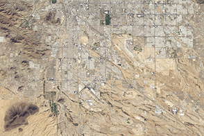
An astronaut photo from 1965 and a satellite image from 46 years later show cityscape engulfing green areas in the dry Southwest.
Published Jul 24, 2012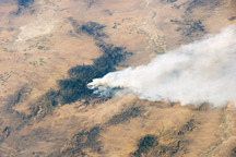
Taken May 15, 2011, this astronaut photograph shows the Horseshoe 2 fire in southeastern Arizona.
Published May 21, 2011
The park encompasses about 37,000 hectares of the Sonora Desert.
Published Jul 24, 2005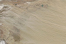
Acquired March 12, 2011, this natural-color image shows dust plumes blowing from the west margin of the Taklimakan Desert.
Published Mar 14, 2011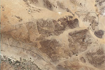
Three topographic and climatic zones converge in California’s Joshua Tree National Park, enriching the park’s biodiversity. The diverse terrain is shown in this Landsat image from May 28, 2003.
Published Jan 29, 2009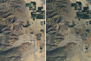
From space, a hint of green betrayed the revival of plant life.
Published Apr 2, 2017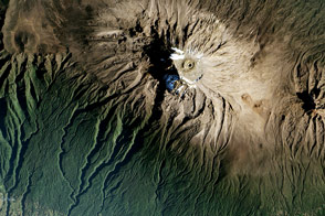
The wide view of Africa’s tallest mountain reveals that it is ringed by colorful bands, highlighting the region’s diverse terrain.
Published Feb 8, 2017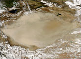
Acquired March 2, 2011, this natural-color image shows dust hovering over the Taklimakan Desert.
Published Mar 2, 2011