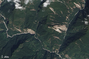
Scientists from around the world banded together to analyze landslides in the wake of a potent temblor. They found fewer scars on the landscape than past events would have predicted.
Published Dec 17, 2015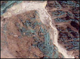
Within days of the magnitude 7.9 earthquake that shook China's Sichuan Basin, floods became a hazard.
Published May 21, 2008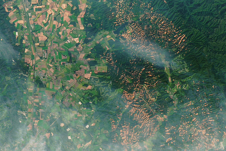
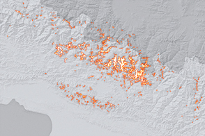
A powerful earthquake triggered hundreds of landslides on the Japanese island.
Published Oct 2, 2018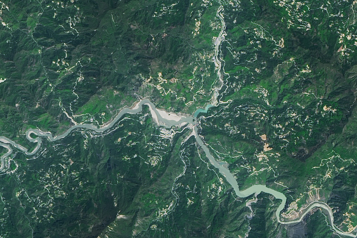
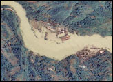
Erosion is causing the slow disappearance of a lake that formed after the 2008 Sichuan earthquake.
Published Sep 7, 2018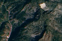
This true-color image from January 15, 2010, highlights potential new landslides near the epicenter of Haiti’s massive 7.0 earthquake.
Published Jan 19, 2010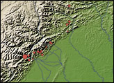
Acquired October 19, 2011, this natural-color image shows landslides in the northern Indian state of Sikkim. The landslides likely resulted from an earthquake to the northwest.
Published Oct 20, 2011
These images show changes in the landscape before and after an earthquake struck on May 12, 2008.
Published May 29, 2008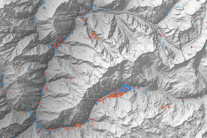
A multinational team is trying to map landslide hazards in Nepal before the summer monsoon adds to the region’s misery.
Published Jun 4, 2015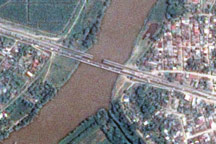
The day after a powerful 7.3-magnitude earthquake shook Honduras, Taiwan’s Formosat-2 satellite captured this detailed, photo-like image showing the collapsed span of the earthquake-damaged Democracy bridge.
Published Jun 3, 2009