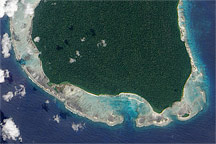
This photo-like image shows North Sentinel Island, in the Andaman Sea, almost five years after the devastating 2004 Aceh-Andaman Earthquake raised its surrounding reefs above the water line.
Published Dec 31, 2009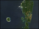
The Andaman Islands consist of more than 500 islands in the Bay of Bengal. The largest islands comprise Great Andaman, easily seen from space.
Published Feb 15, 2007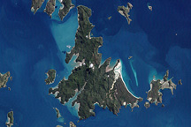
The Whitsunday Islands are a collection of some 74 islands sandwiched between the Australian mainland and the outer atolls of the Great Barrier Reef.
Published Jan 2, 2010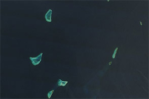
Lakshadweep’s coral atolls glow iridescent blue-green in this natural-color scene from February 2012.
Published Apr 15, 2012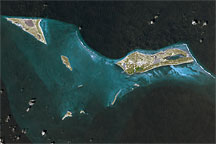
This approximately true-color image shows part of the Turks and Caicos Islands archipelago, observed September 18, 2001.
Published Apr 17, 2009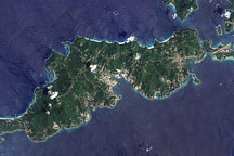
Acquired September 17, 2005, this true-color image shows Tortola, the largest of the British Virgin Islands. Also shown are Tortola’s smaller neighbors: Guana Island, Grand Camanoe, and Beef Island.
Published Nov 29, 2009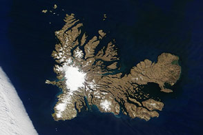
Penguins, seals, and scientists are among the residents of a remote archipelago in the southern Indian Ocean.
Published Dec 28, 2016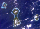
In one frame International Space Station astronauts were able to capture the evolution of fringing reefs to atolls. As with the Hawaiian Islands, these volcanic hot spot islands become progressively older to the northwest. As these islands move away from their magma sources they erode and subside.
Published Feb 16, 2003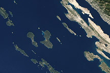
Acquired October 2, 2002, this natural-color image shows islands off the coast of Croatia, in the Adriatic Sea.
Published Apr 17, 2011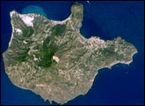
The Aeolian Islands formed from a chain of volcanoes in the Tyrrhenian Sea north of the island of Sicily. Geologists and volcanologists have studied the islands since the eighteenth century, and the United Nations Educational, Scientific, and Cultural Organization (UNESCO) declared them a World Heritage Site in 2000 because of their value to the study of volcanic processes.
Published Sep 1, 2008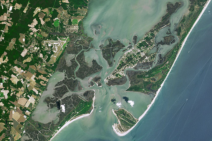
Assateague, Chincoteague, and Wallops provide a rare example of overlapping barrier islands. All of them are constantly in motion.
Published Oct 9, 2019
Myths about these Australian islands seem to provide an ancient explanation for sea level rise.
Published Dec 27, 2019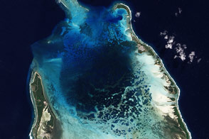
Coral, rock, silt, sand, rubble, sponges, and seaweed all contribute to the architecture of the Cocos (Keeling) Islands.
Published Dec 27, 2011