
You know the photo, but do you know the story behind it? A new video explains the circumstances that gave rise to the famous Apollo “Earthrise” photo while recreating the experience with modern data.
Published Dec 24, 2013Image of the Day Atmosphere Land Water Snow and Ice Remote Sensing
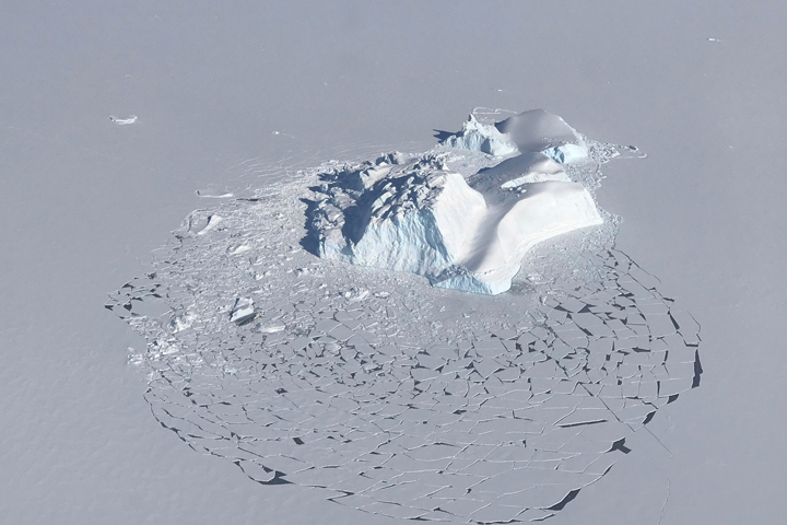
Starting out as land ice, these icebergs are now trapped in sea ice off the east coast of Greenland.
Published May 13, 2018
Carried by winds and currents, sea ice can reach the coast of Hokkaido, Japan.
Published Mar 19, 2020
These iconic photos are not new, but their message never gets old.
Published Dec 24, 2018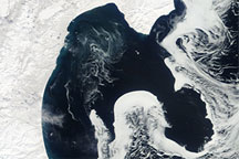
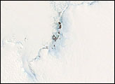
Acquired April 13, 2010, this natural-color image shows a long formation of sea ice with a shape that mimics the features of the eastern shore of the Kamchatka Peninsula.
Published Apr 15, 2010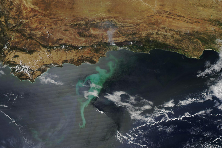
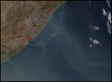
Large phytoplankton blooms tend to occur at intersections: between land and sea, between different ocean currents, and between seasons.
Published Nov 18, 2018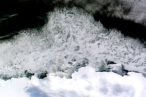
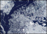
Swirls of ice drift in the Southern Ocean off East Antarctica’s Princess Astrid Coast.
Published Apr 6, 2015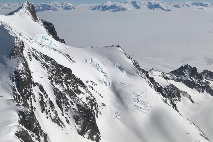
Approaching the icy continent by aircraft, the vast expanse of water and ice is suddenly broken by gray and brown rocky mountaintops
Published Dec 28, 2017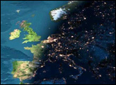
This image presents a remarkable view of the North Atlantic Ocean, stretching from the equator and western Africa northward to Iceland and Greenland, with sunset occurring over (north to south) Scandinavia, France, Spain, Algeria, Mali, and the Ivory Coast. How on Earth was this image made?
Published Mar 26, 2003
A new study shows that polar bears are spending less time on sea ice, leading them to fast longer, become thinner and have fewer cubs.
Published Feb 4, 2020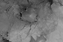
Acquired August 2, 2009, this gray-scale image is made from thermal observations. The image shows that Charcot Island, long connected to Antarctica by the Wilkins Ice Shelf, was circumnavigable in the Southern Hemisphere winter of 2009.
Published Aug 14, 2009
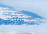
The image is highly oblique—taken from an angle looking outwards from the ISS, rather than straight down towards the Earth—and this perspective provides a sense of topography along the southern edge of Greenland. The exposed dark grey bedrock along the southwestern coastline has been carved by glaciers into numerous fjords, steep-sided valleys that drain directly into the ocean.
Published Aug 25, 2008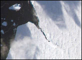
The iceberg A22A was photographed when it was about a third of the distance from South America towards Cape Town, South Africa. A22A is one of the largest icebergs to drift as far north as 50 degrees south latitude, bringing it beneath the daylight path of the International Space Station (ISS). A series of parallel lines can be seen in the lower image. These are probably “hummocks,” dunes of snow that have solidified, and they date back to the time when the iceberg was connected to Antarctica. A developing fracture in the ice can be seen in the lower, detailed view.
Published Jun 18, 2007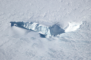
Openings amid the Greenland Ice Sheet show that it’s a long way down.
Published May 12, 2015