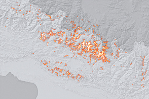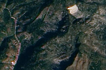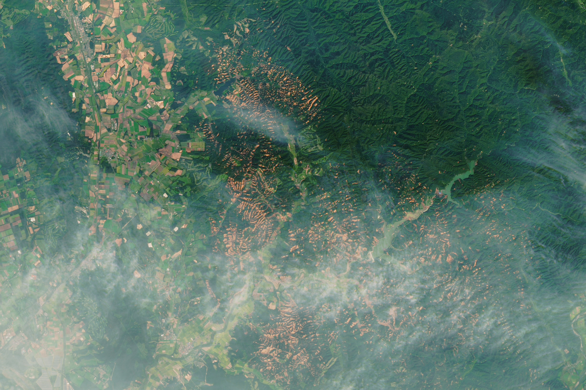
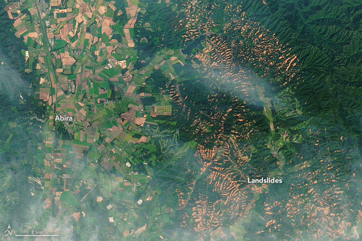
On September 6, 2018, shortly after the remnants of Typhoon Jebi drenched southern Hokkaido, a powerful earthquake rattled the Japanese island. The 6.6-magnitude quake, centered near the town of Tomakomai, came from the relatively shallow depth of 35 kilometers (22 miles). It shook the surface enough to unleash hundreds of landslides.
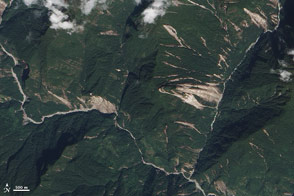
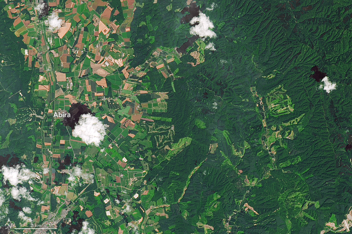
The Operational Land Imager (OLI) on the Landsat 8 satellite acquired imagery of the widespread landslides. One image, acquired on September 15, 2018, shows mud and debris in a hilly area east of Abira. For comparison, the second image shows the same area on July 26, 2017.
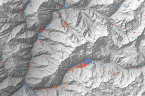
In a sign that the landslides were earthquake-triggered, most of them appeared to start from the tops of ridges, noted University of Sheffield geologist Dave Petley on his blog. Based on drone imagery, the landslides also appeared to be quite shallow and mobile.
Some landslide experts have pointed out that the presence of extremely saturated volcanic soils may have been a key ingredient behind such a widespread outbreak of landslides. Many of the hills in this area have layers of porous volcanic material known as pumice layered into the soil, which can become quite slippery when wet.
NASA Earth Observatory images by Lauren Dauphin, using Landsat data from the U.S. Geological Survey. Story by Adam Voiland.