Today’s story is the answer to the September 2018 puzzler.
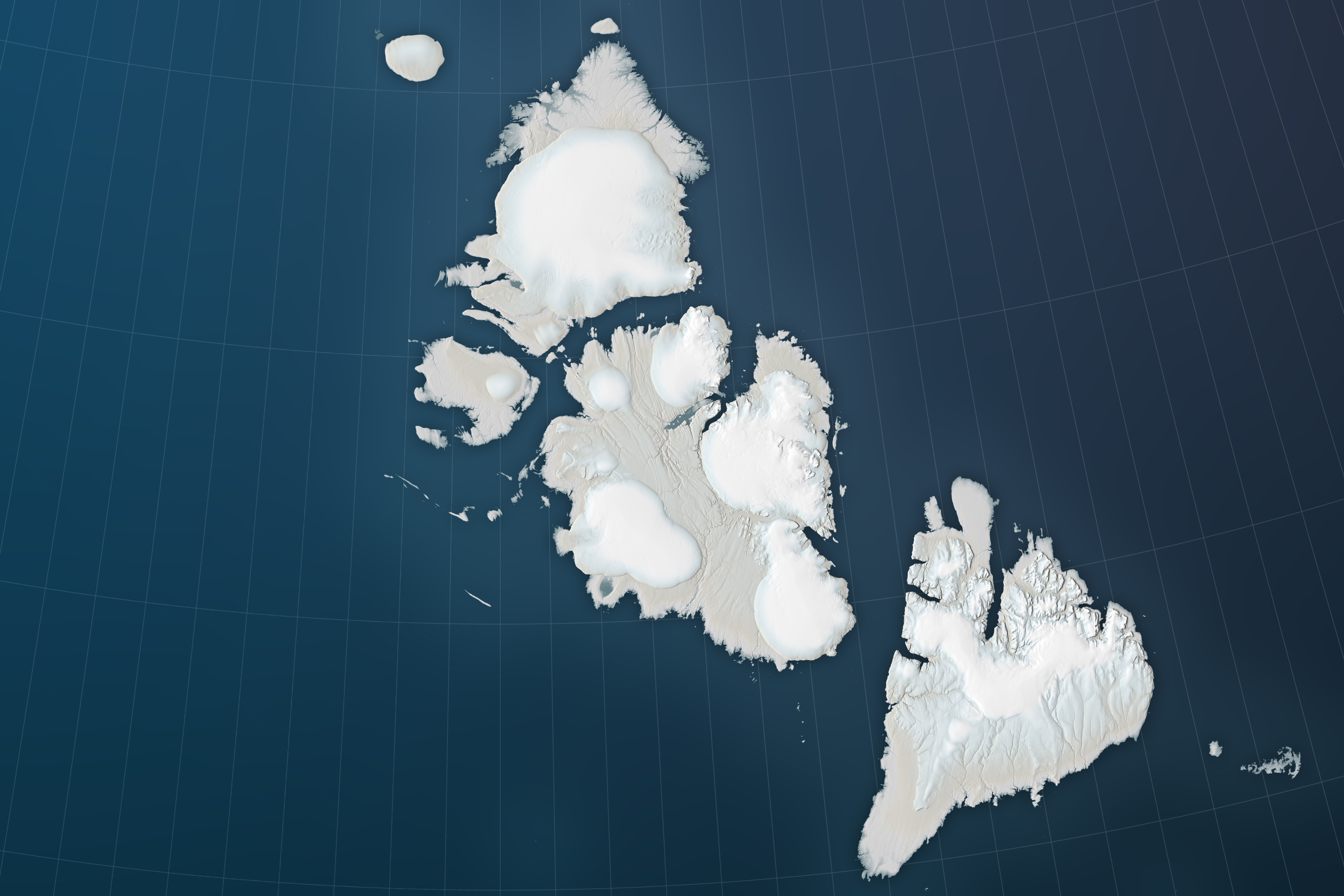
The Severnaya Zemlya archipelago in the Russian high Arctic spans 37,000 square kilometers—about the same area as the U.S. state of Indiana. Despite its size and proximity to the Siberian mainland, the archipelago went unnoticed and unmapped until its discovery by an ocean expedition in 1913.
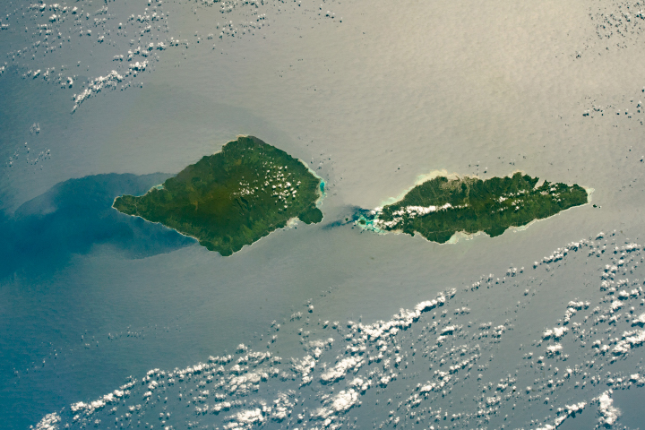
Today, the four large islands would be hard to miss in satellite imagery. These images show part of the island group on August 9, 2018, as observed by the Operational Land Imager (OLI) on Landsat 8. In the wide view (top) you can see the southern tip of Komsomolets Island, the largest in the archipelago; the eastern side of Pioneer Island; and the northwest side of October Revolution Island.
You won’t find any trees growing here. This is Arctic tundra, and cold, dry conditions prevail throughout the year. The average daily temperature in August, when this image was acquired, is 0 degrees C (32°F). Such conditions are quite favorable for year-round ice, which covers about half of the archipelago.
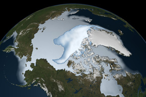
The wide view (second image) shows ice caps dotting the surface. The Academy of Sciences Ice Cap is the archipelago’s largest at 5,575 square kilometers (2,152 square miles). Some of the edges of the ice rest on land and others stretch over seawater. Ice loss occurs from surface melting and from the shedding of icebergs. Thin, broken sea ice chokes the water in the straits.
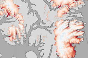
The top image shows a detailed view of the Albanov Ice Cap on October Revolution Island. Research has shown that like most ice caps in this area, Albanov has steepened. That is, accumulations have made the cap thicker in the middle, at the same time that the cap’s edges are retreating. Many of the ice caps, including Albanov, contain snow and ice that has melted and refroze, visible as the blue areas ringing the ice caps.
NASA Earth Observatory images by Joshua Stevens, using Landsat data from the U.S. Geological Survey and topographic information from the ArcticDEM Project at the Polar Geospatial Center, University of Minnesota. Story by Kathryn Hansen.