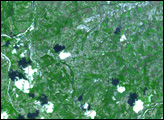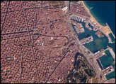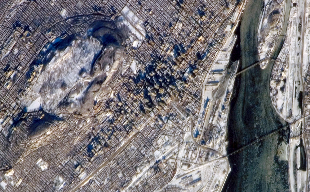
The largest city in the Canadian province of Québec and the largest inland port in the world, Montréal takes its name from a distinctive landscape feature at the center of the city. Mont-Royal (“royal mountain” in French) rises to an elevation of 233 meters (about 764 feet) at Colline de la Croix peak. The mountain is sometimes identified in guidebooks as an extinct volcano, but the types of igneous rock found at Mont-Royal suggest the mountain is more likely to be the remnants of magma chambers that once fed surface volcanoes than a surface volcano itself. The Parc du Mont-Royal—one of the city’s largest forested greenspaces—is located on the lower slopes of the mountain (appearing as gray-green regions in the image), while the Notre-Dame-des-Neiges Cemetery occupies most of the upper snow-covered area of Mont-Royal visible in the image.
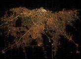
This astronaut photograph was taken while the International Space Station (ISS) was located approximately 306 kilometers (about 190 miles) to the southeast over Mount Vernon, Maine. The astronaut was looking northwest to capture the morning sunlight on a snow-dusted Montréal. Individual skyscrapers of the downtown area are clearly visible, highlighted by the long shadows they cast in the light of the rising sun. The high-rise profile of the downtown area contrasts sharply with a distinctive grid pattern of residential, commercial, and institutional city blocks to the north, south, and west, which are outlined by the snow cover. The combination of oblique viewing angle and sun position also allow for the capture of sunglint—light reflected directly back to the camera on the ISS—on the St. Lawrence River at image right. The glint reveals ice on the river; several large chunks are visible to the north of the Victoria Bridge (image lower right). The image is detailed enough to capture individual support pylons on the bridge.
The featured astronaut photograph, ISS014-E-12652, was acquired January 21, 2007, with a Kodak 760C digital camera using an 800 mm lens, and is provided by the ISS Crew Earth Observations experiment and the Image Science & Analysis Laboratory, Johnson Space Center. The image in this article has been cropped and enhanced to improve contrast. The International Space Station Program supports the laboratory to help astronauts take pictures of Earth that will be of the greatest value to scientists and the public, and to make those images freely available on the Internet. Additional images taken by astronauts and cosmonauts can be viewed at the NASA/JSC Gateway to Astronaut Photography of Earth.