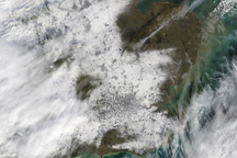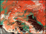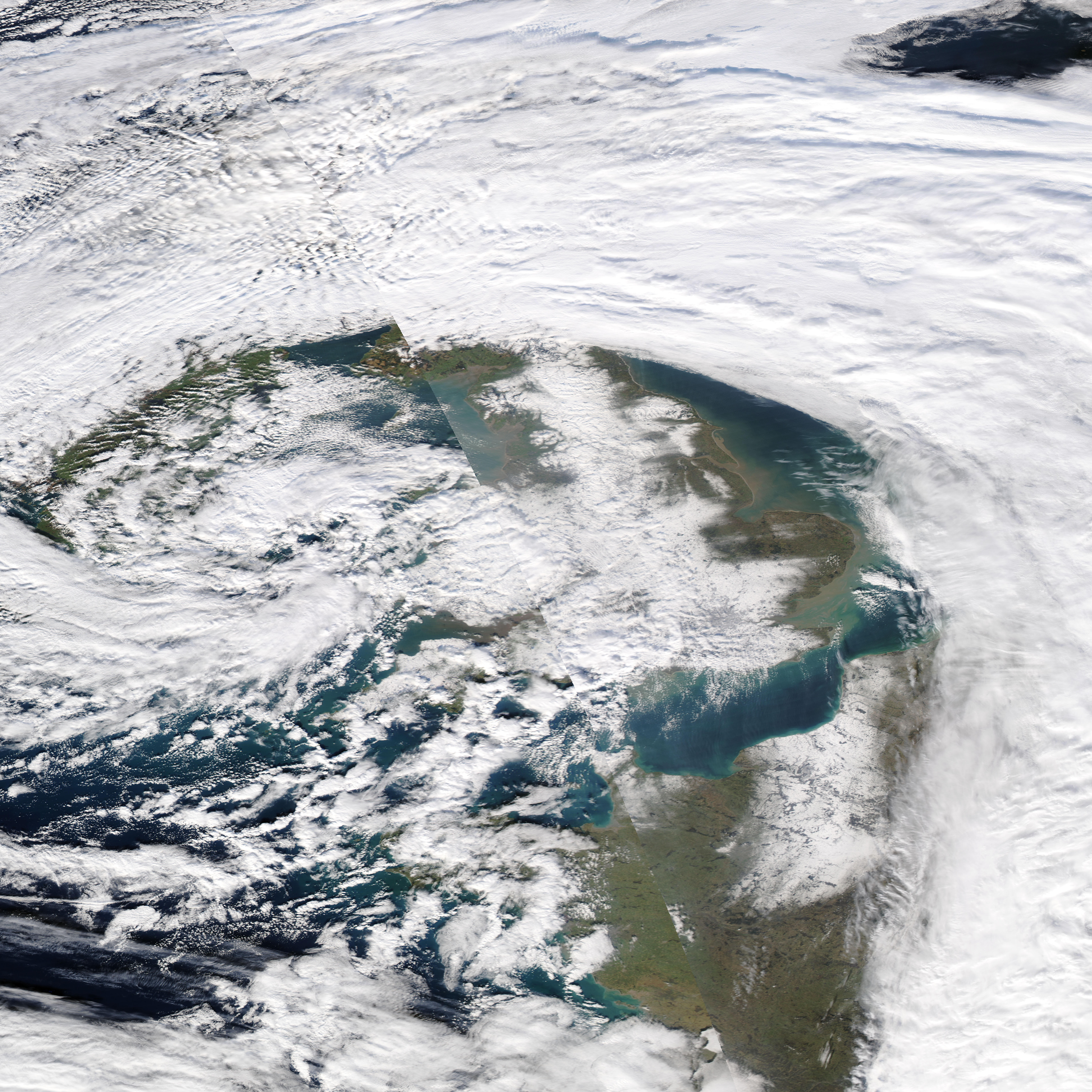
The first days of February 2009 brought an intense winter storm to much of Western Europe. Snowfall in England was the heaviest in 18 years. Parts of London received up to 20 centimeters (8 inches) of snow, reported BBC News. By February 3, the storm had started to move north, leaving a small break in the clouds over London and southeast England. In the wake of the storm, the landscape is a blur of white in this photo-like image captured by the Moderate Resolution Imaging Spectroradiometer (MODIS) on NASA’s Aqua satellite. Clouds blend with snow on the ground, making it difficult to gauge the true extent of the snow cover. London and other populated regions are a slightly darker shade of white than the surrounding countryside.
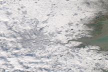
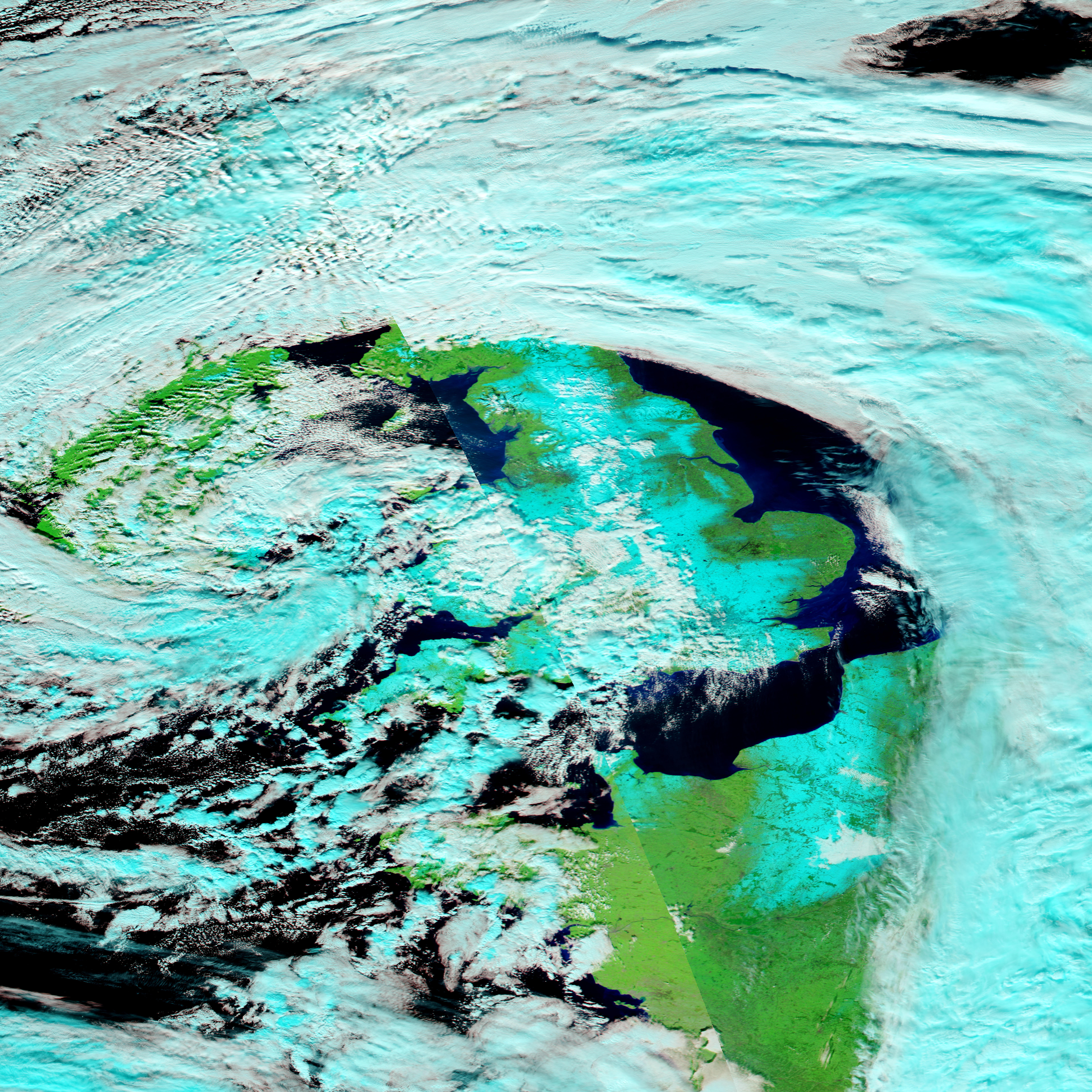
The lower image shows the same scene in a combination of infrared and visible light. Snow is blue, while the clouds are white. The area west of London was still cloudy when MODIS captured this image, but London itself was relatively clear. As in the photo-like image, populated regions with their developed surfaces are darker in color.
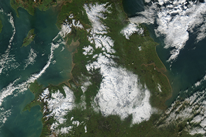
The storm closed down transportation, including London’s buses and flights out of London’s Heathrow airport, and closed schools and businesses, said BBC News. Snow fell throughout Western Europe, affecting many European cities including Paris and Madrid. The large images show snow in northern France and throughout the United Kingdom.
NASA images courtesy the MODIS Rapid Response Team at NASA GSFC. Caption by Holli Riebeek.