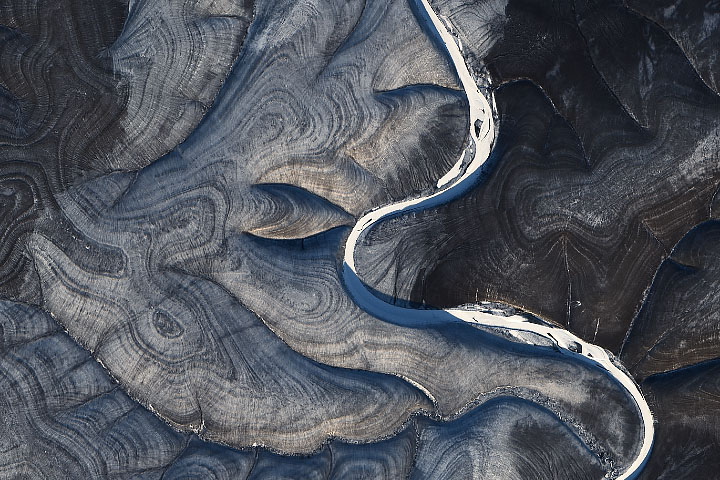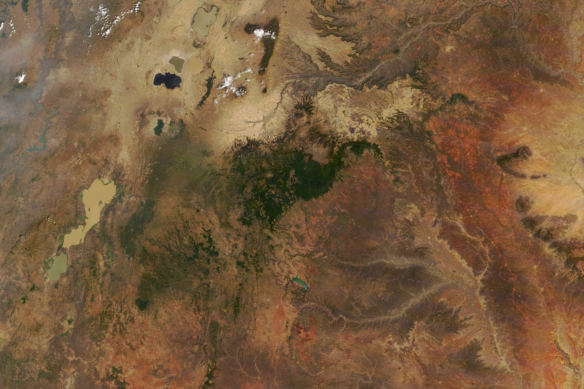
There are few places in Ethiopia—or the world—quite like the Harenna Forest. Spread across the southern slopes of the Bale Mountains, it is the second-largest stand of moist tropical forest in Ethiopia and the largest cloud forest in the country.
The Moderate Resolution Imaging Spectroradiometer (MODIS) on NASA’s Terra satellite acquired this natural-color image of the forest on February 5, 2021. The forest grows in highland areas at elevations of 1400 to 3200 meters (4,600 to 10,500 feet) above sea level. From the mostly treeless Sanetti Plateau, an escarpment drops sharply into a series of forested ecosystems defined by altitude, including areas where bamboo, tree heather, fig, fern pines, hagenia, and wild coffee thrive. Forest wildlife includes monkeys, baboons, bushbucks, warthogs, lions, leopards, hyena, and wild dogs.
While there are dense tracts of forest south of the Sanetti Plateau, a Global Forest Watch analysis of satellite data indicates that there was significant deforestation along roads and stream valleys in Hawo, Kumbi, Likimisa Bokore, and Soriba between 2000 and 2019. The data also show many small-scale forest clearings along the escarpment. Common causes for deforestation in this area include charcoal production, firewood collection, and clearing for agriculture. The analysis is led by a team of University of Maryland scientists and derived from data on tree cover loss collected by Landsat satellites.
Loss of forest cover in this region could affect some distinctive cultural practices. Harenna Forest is one of the few places where people still harvest wild arabica beans to make coffee. The forest is also noted for being one of the few places where people still practice a traditional style of beekeeping that involves scaling trees to maintain hand-carved hives.
NASA Earth Observatory image by Lauren Dauphin, using MODIS data from NASA EOSDIS LANCE and GIBS/Worldview. Story by Adam Voiland.