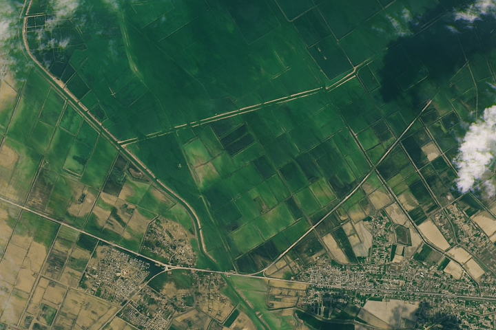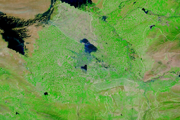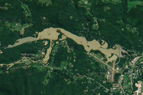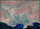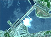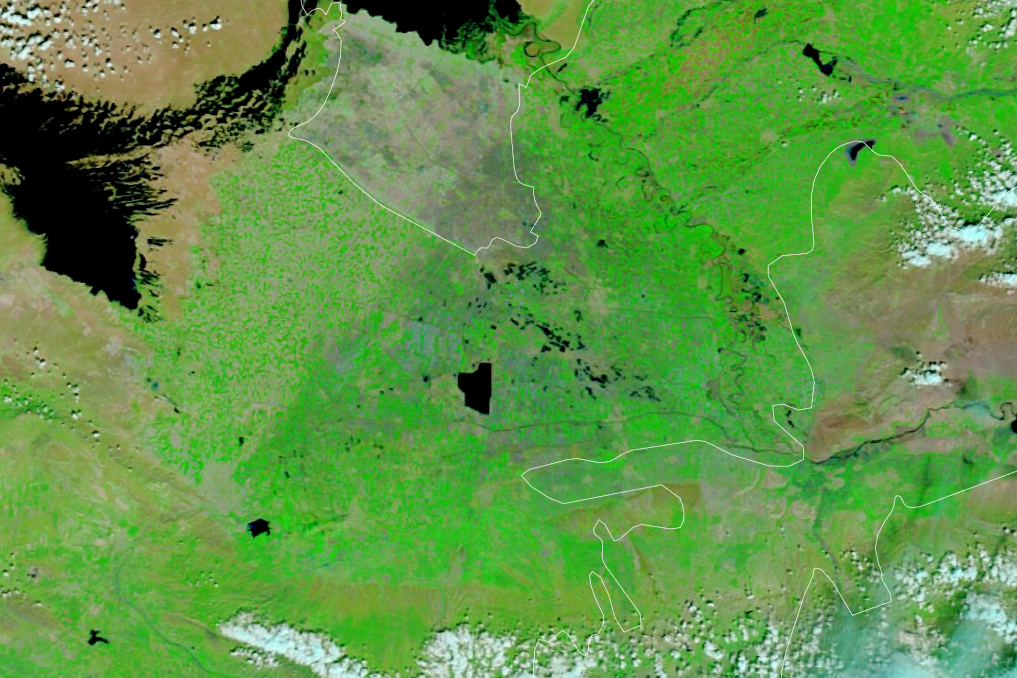
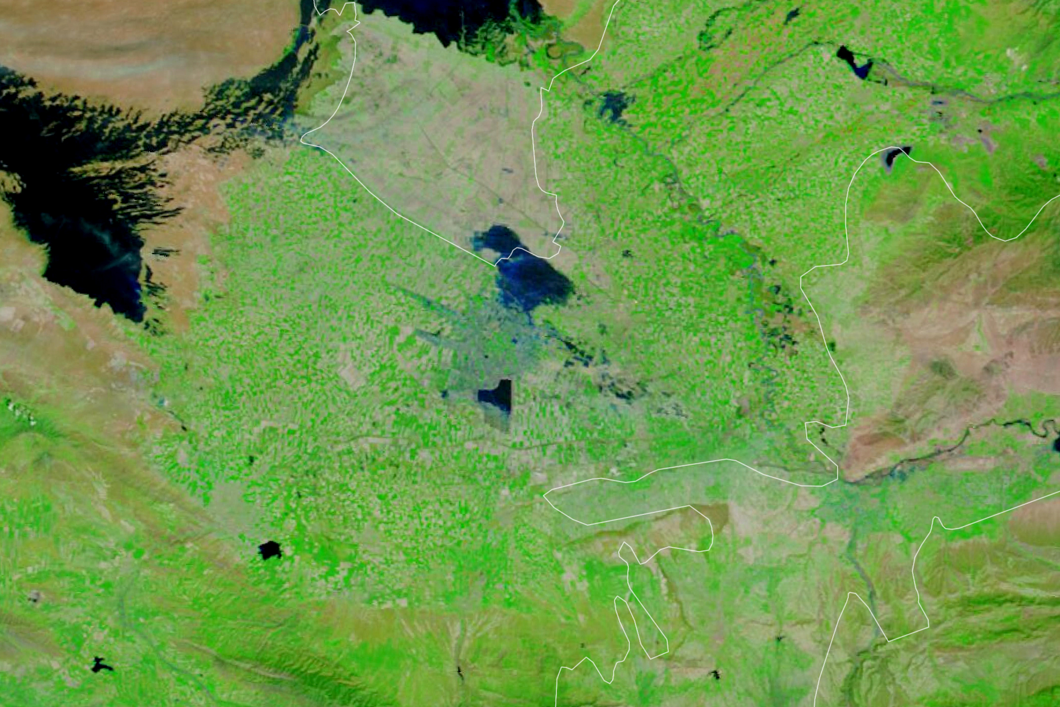
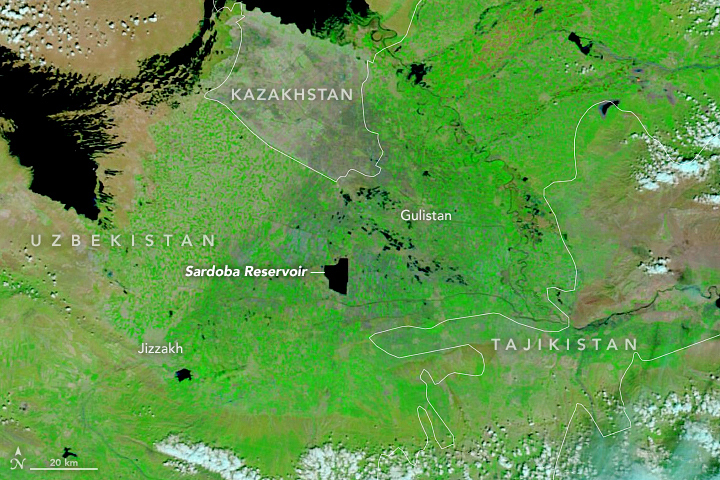
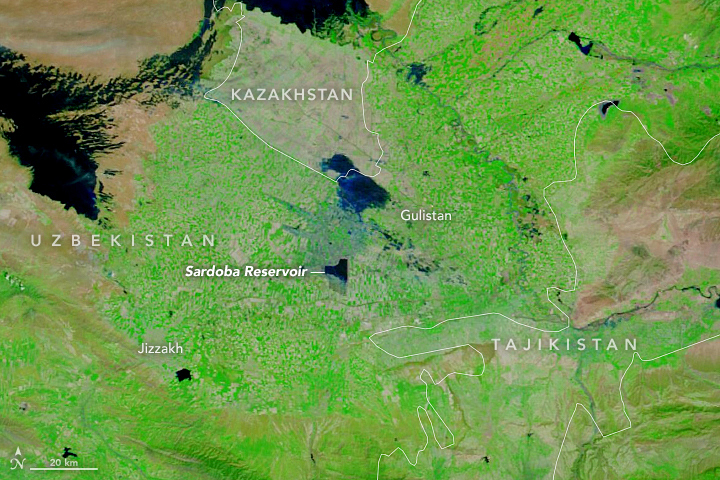
On May 1, 2020, part of an earth-filled dam broke along the Sardoba Reservoir in Uzbekistan, flooding the surrounding landscape.
The flood is visible in these images, acquired by the Moderate Resolution Imaging Spectroradiometer (MODIS) on NASA’s Terra satellite. The image is false color, composed from a combination of infrared and visible light (MODIS bands 7-2-1), to make it easier to see the flood water. Flood water appears dark blue; saturated soil is light blue; vegetation is bright green; and bare ground is brown.
The right image shows the reservoir on May 7, 2020, one week after the dam broke. Part of the reservoir appears empty, and flooded areas extend north into Kazakhstan. For comparison, the left image shows the same area on April 30, the day before the flood.
According to news reports, thousands of people were evacuated from villages in both Uzbekistan and Kazakhstan.
NASA Earth Observatory images by Lauren Dauphin, using MODIS data from NASA EOSDIS/LANCE and GIBS/Worldview. Caption by Kathryn Hansen.