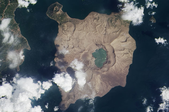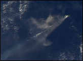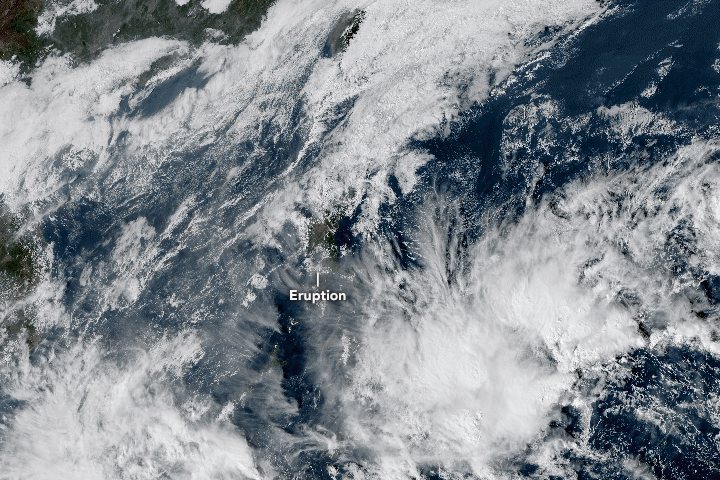
In January 2020, the Taal Volcano awoke from 43 years of quiet and spewed lava and ash, filling streets and skies of the Philippine island of Luzon with fine ash fall and volcanic gases. The eruption caused tens of thousands of people to evacuate their homes and forced the closure of several key roads, businesses, and an airport.
The volcano first unleashed a steam-driven explosion (known as a phreatic eruption) on January 12. In the early morning of January 13, eruptive activity increased and the volcano emitted a fountain of lava for about an hour and a half. According to the Philippine Seismic Network, at least 144 volcanic earthquakes have been recorded since January 12, suggesting continuous magmatic activity underneath Taal and potentially more eruptive activity.
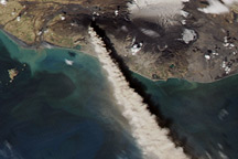
According to news reports, the eruption of Taal lofted ash fall up to 14 kilometers (9 miles) into the air. The eruption was accompanied by intense thunder and lightning above the summit. Winds carried volcanic ash fall north across Luzon.
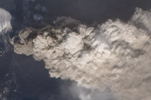
“The plume is probably comprised mostly of water droplets,” said Simon Carn, a volcanologist at Michigan Tech. Taal has a crater lake, which provides plenty of surface water to be drawn from. “There may be some volcanic ash but in such ‘wet’ plumes volcanic ash can be difficult to detect as the ash particles are often covered by liquid water.”
The time-series animation above shows the growth and spread of the volcanic plume from January 12-13, as observed by Japan’s Himawari-8 satellite. The map below shows stratospheric sulfur dioxide concentrations on January 13, 2020, as detected by the Ozone Mapping Profiler Suite (OMPS) on the NOAA-NASA Suomi-NPP satellite.
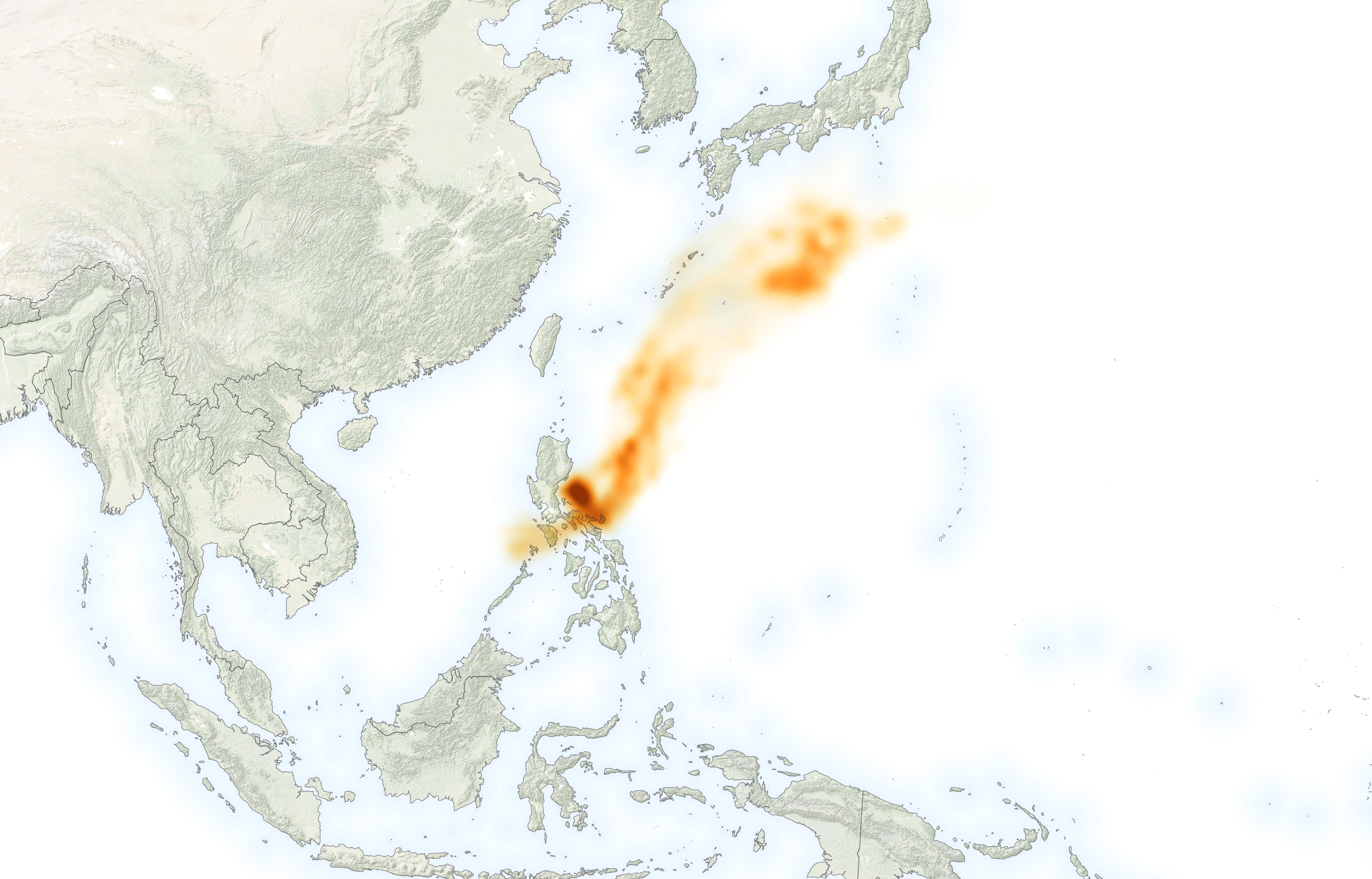
Authorities have advised locals to avoid breathing in the affected air, but Carn said the amount is not enough to have measurable impacts on the climate at this time. “However, it is possible that the Taal eruption could continue and produce more SO2 in the coming days,” said Carn.
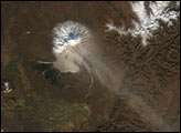
Taal is the second-most active volcano near Manila, which is located approximately 60 kilometers (40 miles) north of the volcano. In total, ten cities and municipalities surround Taal. The Philippine Institute of Volcanology and Seismology (PHIVOLCS) has ordered a “total evacuation” for people in high-risk areas within a 14-kilometer radius from the main crater, affecting around half a million people.
NASA Earth Observatory image by Lauren Dauphin, using OMPS data from the Goddard Earth Sciences Data and Information Services Center (GES DISC). Natural-color animation based on Himawari imagery, courtesy of the Japan Meteorological Agency . Story by Kasha Patel.