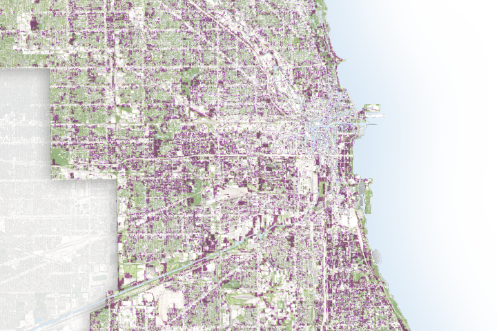
Astronauts often return to Earth with a renewed appreciation for the complexity and beauty of our planet, a phenomenon sometimes called the overview effect. While most of us will never be lucky enough to see our home from space, natural-color imagery collected by Earth-observing satellites offers the next best thing.
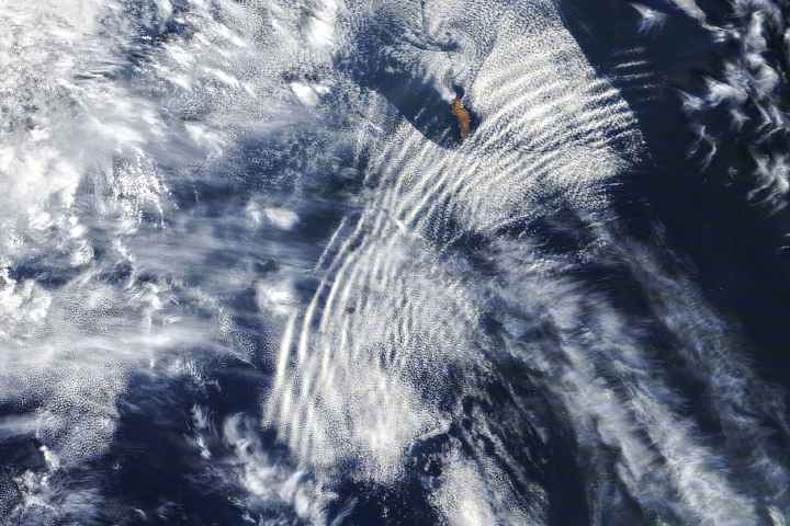
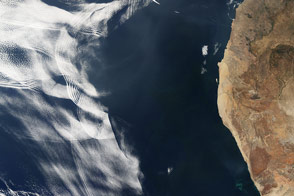
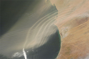
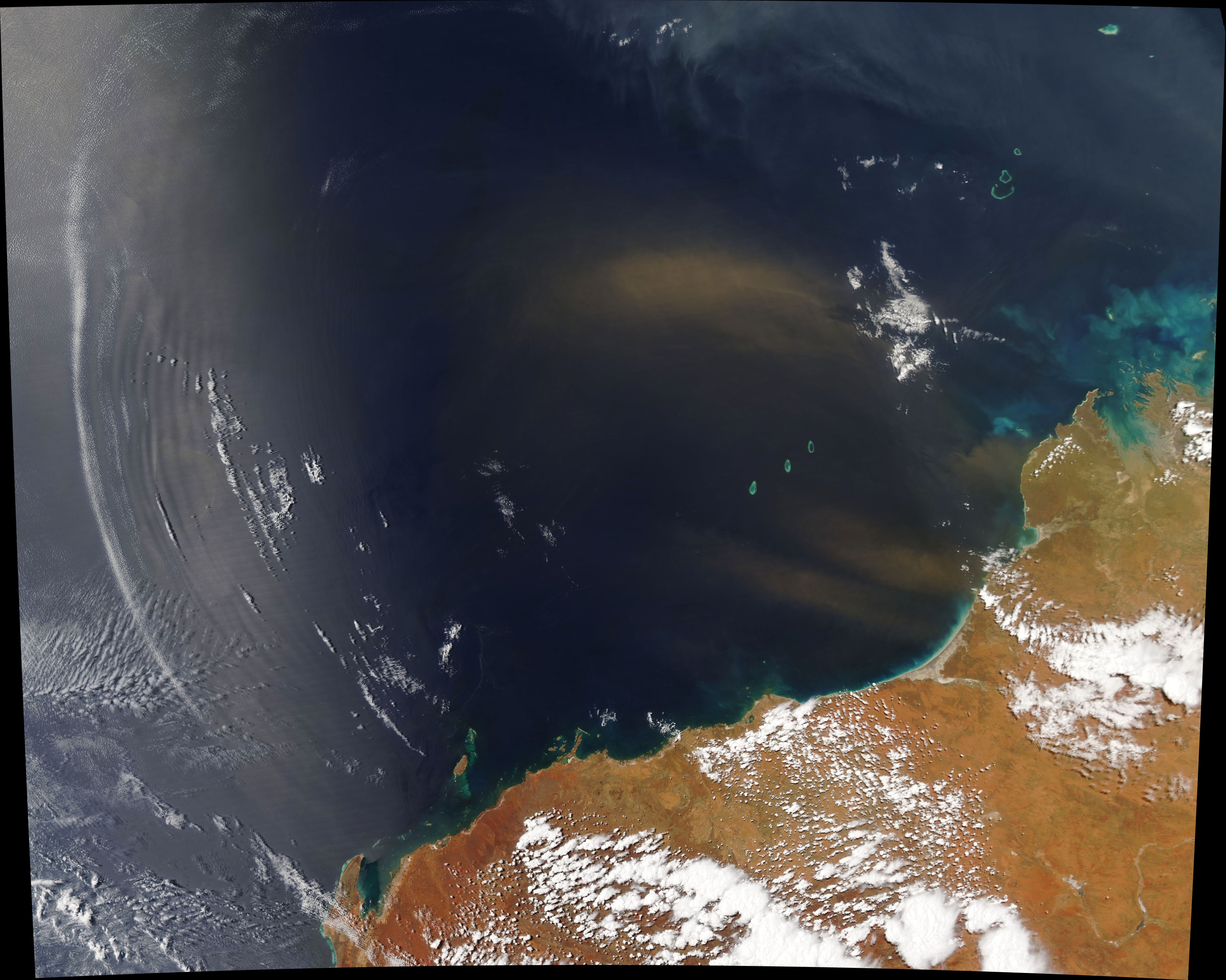
The natural-color image above shows an intricate push-and-pull that recently played out between weather systems, clouds, and dust off the coast of Western Australia. The Moderate Resolution Imaging Spectroradiometer (MODIS) on NASA’s Aqua satellite acquired the image on October 21, 2019.
The common thread connecting the dust and the curving clouds was a powerful thunderstorm churning over the Pilbara region of Western Australia. As a jet of cool air funneled out from the storm and hit a mass of warm air on the unusually hot day, it created a ripple-like disturbance—an atmospheric gravity wave. It also stirred up fierce winds that pushed a large dust plume northwest over the Indian Ocean. With enough moisture in the air to form bands of clouds, the normally invisible outlines of the gravity wave became visible.
Down in the sea, other types of environmental dramas played out. Tendrils of phytoplankton, possibly Trichodesmium, drifted in currents north of Barrow Island. The nitrogen-fixing cyanobacteria, sometimes called “sea sawdust,” play a key role in the nitrogen and carbon cycle.
NASA Earth Observatory image by Joshua Stevens, using MODIS data from NASA EOSDIS/LANCE and GIBS/Worldview. Story by Adam Voiland.