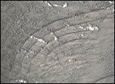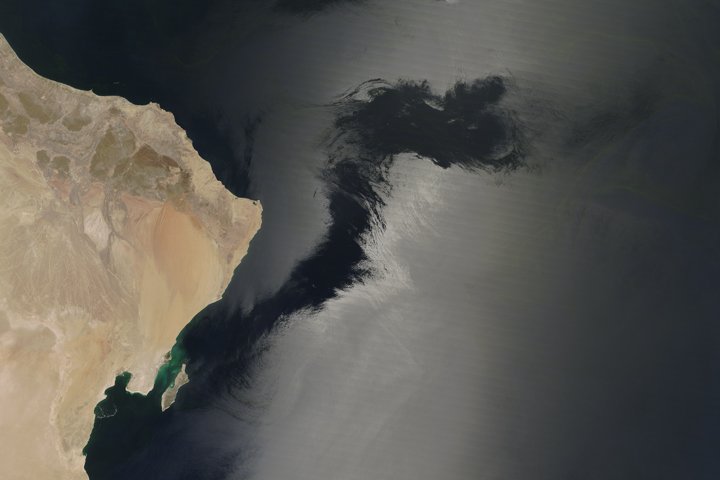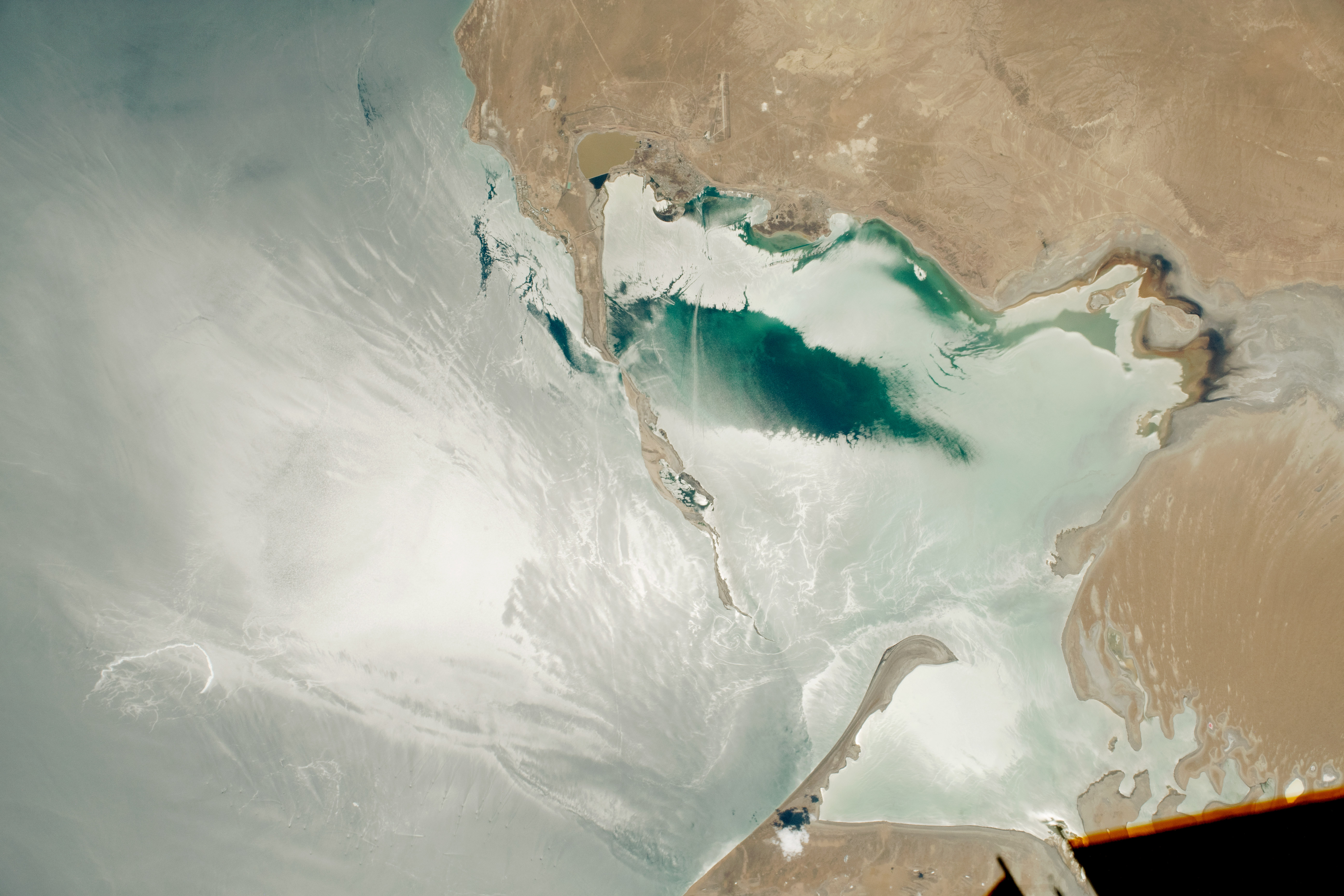
An astronaut onboard the International Space Station took this photo of sunglint reflecting off Turkmenbashi Gulf, an inlet on the southeastern edge of the Caspian Sea. The complex glint patterns are due to waves, winds, the presence of oils or surfactants, and the presence of boats and drilling platforms—all of which alter the roughness of the water surface.
Just beyond the narrow passage into Turkmenbashi Gulf, dozens of offshore drilling operations dot the sea surface. The Caspian Sea is a large oil-producing region, and these drilling platforms are located over a natural gas field. Though these platforms are barely visible from space, the passing waves and sunglint create a traceable line, making the structures easier to locate from above. Wakes from boats also create linear streaks as they head to and from towns and petroleum storage.
A bright, hook-shaped streak appears in the sunglint near the drilling platforms. This could possibly be an oil slick or bilge water discharge from a ship. The streak has been reworked by waves, so the source cannot be determined from this photo.
Astronaut photograph ISS059-E-99045 was acquired on June 10, 2019, with a Nikon D5 digital camera using a 140 millimeter lens and is provided by the ISS Crew Earth Observations Facility and the Earth Science and Remote Sensing Unit, Johnson Space Center. The image was taken by a member of the Expedition 59 crew. The image has been cropped and enhanced to improve contrast, and lens artifacts have been removed. The International Space Station Program supports the laboratory as part of the ISS National Lab to help astronauts take pictures of Earth that will be of the greatest value to scientists and the public, and to make those images freely available on the Internet. Additional images taken by astronauts and cosmonauts can be viewed at the NASA/JSC Gateway to Astronaut Photography of Earth. Caption by Andrea Meado, Jacobs Technology, JETS Contract at NASA-JSC.