
Sea ice geophysicist Melinda Webster is blogging from the RV Polarstern, an icebreaker ship locked in Arctic sea ice for the MOSAiC expedition. Webster will use MOSAiC data as a blueprint to evaluate and extend the seasonal capability of data from NASA’s ICESat-2 satellite for sea ice research.
June 10, 2020
Our first night aboard Polarstern was a pleasant one. Even though we had 4-meter waves and 7 Beaufort force winds, we were tired and slept rather well in our new home.
At 8:15 a.m. Universal Time the next morning, the first sea ice came into view. We stood about on the helicopter pad in our bulky life jackets (during a safety drill), watching whales and bright patches of white on the horizon. Morale was high.
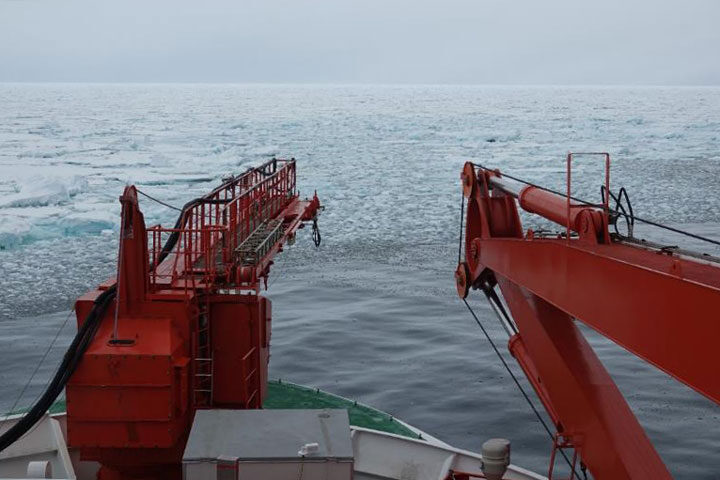
At 8:37 a.m. Universal Time, we officially reached the Arctic sea-ice pack. There was a surprisingly distinct boundary between the “open” ocean and pack ice. Often times in mid-summer, this boundary can be ambiguous with small floes and brash ice scattered all about, but not here. The ice floes remained together, fenced in by an invisible boundary of warm water: surface ocean temperatures were 4°C just before the ice edge and -1.8°C within.
As the ice edge approached, we began our “ice observations,” a task in which we characterize the weather and surrounding ice and open water conditions every hour, estimating sea-ice concentration, thickness, snow cover, melt ponds, cloud cover, precipitation, and more. This is valuable information for comparing with satellite products such as sea ice concentrations and the sea-ice edge maps used for navigation. Learning where products work well (and don’t work well) helps us identify areas for improvement and also informs user groups, such as a ship’s crew, about how to better use the products.
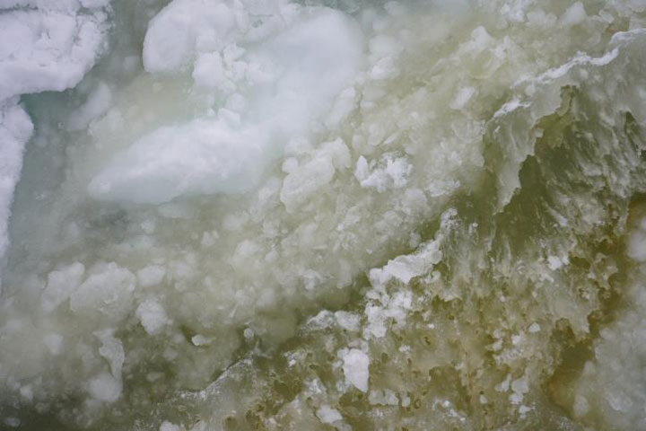
The greater vicinity of the ice pack was (and still is) teeming with wildlife. We saw minke whales, kittiwakes, murres, and even fish. The Polarstern is extremely popular with birds as it overturns floes and churns up the water, bringing up tasty treats to the surface for them to eat. The water had a greenish color from copious amounts of phytoplankton. Even the sea ice and melt ponds had yellow hues and contained mats of algae. The ice itself was extremely porous and full of holes from the substantially warm temperatures and melt that it has endured.
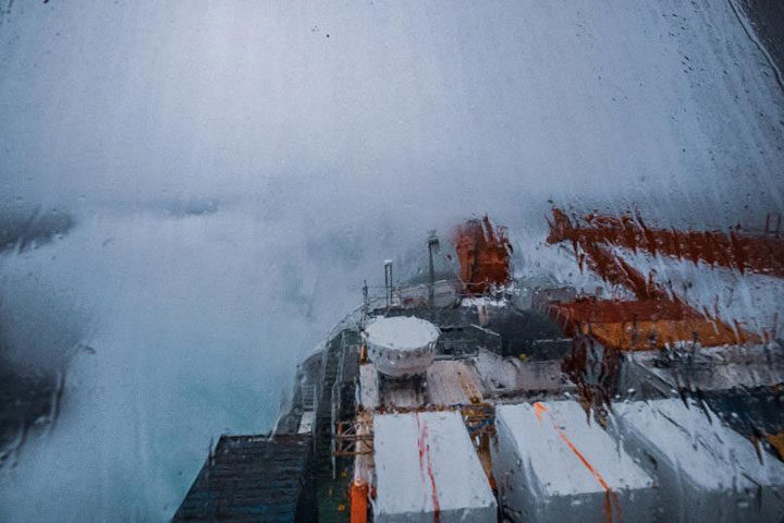
As we’ve gone deeper into the ice pack, the fog has settled in and the sea ice has thickened. We’ve made good progress through the ice so far, with sea ice concentrations being close to 90 percent, meaning that, within our view, 90 percent of the area is covered in sea ice while the other 10 percent is leads, cracks, and patches of open water. The sea ice is mostly first-year (seasonal) ice, which tends to be easier to navigate through due to it being thinner and structurally weaker. Compared to yesterday afternoon, the ice is rougher. Ice floes have ridged up against one another, blocks of ice are strewn about the surface, and the sea-ice cover looks like a rather challenging obstacle course.
On board, our work has begun, ranging from unpacking and repairing instruments to data processing and site planning. Our days are getting filled with instrument repair and testing, science team meetings, and training sessions as we inch closer and closer to the MOSAiC Central Observatory.
nice article
Nice photos!