
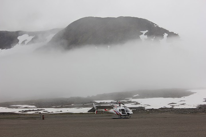
Fog rolled in over the airport with the helicopter we’ll be using in the background.
Anatoly, Nick, and I arrived in Kulusuk on July 24 after a very long journey from Maryland and France. We spent the day organizing and weighing gear from the container and are in serious need of a warm meal and good night’s sleep. This field season the seismic measurements are the top priority since they were delayed from the spring season.
The seismic portion of experiments will aid us in understanding the subsurface hydrological structure and composition of the ice sheet. These experiments are crucial for understanding how deeply the aquifer layer extends into the firn and capturing the variation in its thickness across the ice sheet. The main focus of our experiment is to use seismometers to measure the velocities of layers within the ice sheet. Based upon the various phases of water (ice, snow, and liquid water) present, we expect to see different wave speeds for each material. By examining how these wave speeds change with depth, we can deduce the relative amounts of how much water, ice, or snow is at depth.
To obtain these measurements, we will be using an active source seismic array that is being provided to us by the Incorporated Research Institutions for Seismology Portable Array Seismic Studies of the Continental Lithosphere Instrument Center. The array consists of multiple geophones attached to a towable streamer cable that will capture seismic waves propagating both along the surface and down through the ice sheet. We can move the array by towing it behind a snowmobile. To generate the seismic waves, we strike an aluminum plate with a sledgehammer to propagate a wave into the ice sheet. A single hammer strikes is typically called a “shot.” A multichannel seismic data collector connected to the seismometers then collects the ground motion recorded at each geophone, and sends the data to a computer where we can look at how long it took for the seismometers to receive data at different distances from the shot origin.
As the seismic waves travel through the ice, the time it takes for the seismometer to receive the vibration from the shot will be shorter or longer depending on the different velocities of material the wave travelled through. By looking at a number of different locations, we can then map out geographical variations in the thickness and character of the subsurface ice sheet structure. This effort is vital for understanding how water is flowing through the layers of our ice sheets in order to see how the melt is affecting sea level rise globally.
We plan on leaving for the ice sheet very soon and hope we got all of our bad luck with delays out of the way last season.
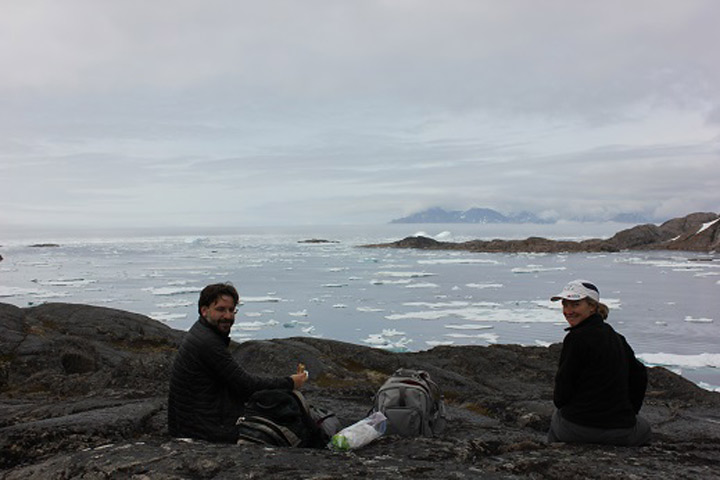
Nick and Olivia having lunch in Kulusuk.
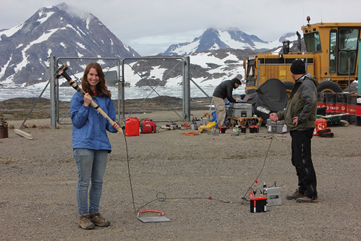
Lynn, Nick, and Anatoly testing out the seismic gear at the airport.
Tags: cryosphere, drilling, Greenland, Greenland Aquifer Expedition 2015, ice
Does the shot require some uniform kinetic energy in the sledge hammer each time? How can that be known?
Keep up the good work. Interesting stuff.
Jim
I would be interested in knowing how the intensity of the shot effects velocity, propagation time or distance from origin
The water table GPR track seems to be charting groundwater moving around blocks of ice. I am also interested in Jim Maldi’s question about distance from propagation, especially vertical distance. It seems that the signal goes very deep in ice. The video was fuzzy. Good fun!