By Lora Koenig
Byrd Station (Antarctica), 8 December — Today was our first day in the deep field at Byrd Camp. Byrd Camp sits in the middle of the West Antarctic Ice Sheet at an elevation of about 5,700 ft (1,737 m). We are standing on over 2,000 m of ice, with the oldest ice being about 50,000 years old. (The ice nearby at WAIS divide camp is a bit older and deeper. To find out more about the deep ice underneath us check out this information on the WAIS Divide ice core, which is being drilled deep into the ice nearby.) When you look out from camp you see nothing but the flat white snow and an old drill tower sticking out of the ground.
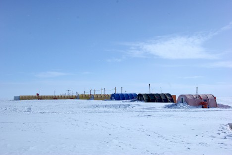
We are, specifically speaking, at Byrd Surface Camp. The original Byrd Camp, established in the 1956-1957 season, is underneath us, except for a drill tower that still sticks out above the snow. Over the years, snow accumulation (which averages around 12 cm per year at Byrd) buried the original camp and created Byrd Surface Camp, which everyone just calls Byrd. It is exactly this snow accumulation that we are here to measure with ice cores and radars. Here is an article about the history of Byrd.
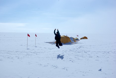
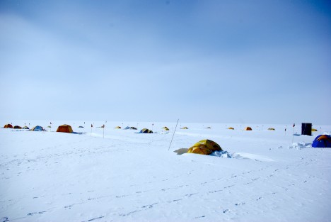
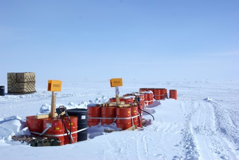
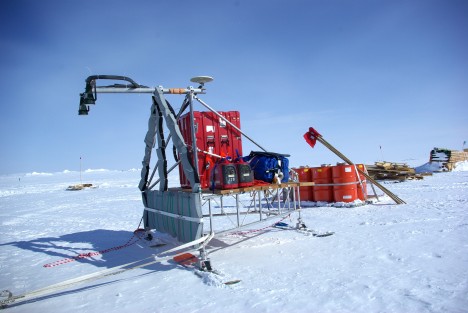
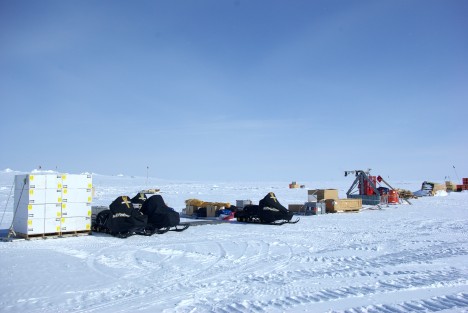
The team was prepared to work hard today because we know the more time we make up from the weather delays, the quicker the traverse team can get home. The day started with all of us breaking down the pallets of gear. Once all the gear was off of the pallets, we divided and conquered the tasks for the day. Michelle started loading and organizing the sleds. Randy fueled all the snowmobiles and Jerry cans. We brought nine 55-gallon drums of premix gas for the snowmobiles for the entire traverse. Jessica prepared all of the drilling gear for the first core, which we’ll drill tomorrow. Clem, Ludo and I built the radar sled, attached the antennas and hooked up all of the radars for testing. Clem also set up a GPS base station that we will use to correct our roving GPS on the radar so we know precisely where the radar data is located throughout the traverse.
We discovered a few problems today. First, Jessica realized that the power converter for the drill battery did not make it to the field. The drill is made in Switzerland and has a different power plug. While this was an unfortunate oversight, it will not affect the science: We can charge the drill battery with the solar panels. The sun is up 24 hours a day here, so that will provide more than enough charge for the battery. Also, we carry an electronics tool kit, so in case of need we can cut the wires and make a new plug.— we call it “MacGyvering” (i.e., improvising fixes to our materials in the field).
The second problem of the day is a bit more worrisome. The Ku-band radar data has a systematic noise level that we cannot troubleshoot. We know that it has something to do with the computer that runs the radars, but we cannot determine whether or not the problem is coming from radio frequency emission from the computer itself getting into the antennas or if it is a data writing problem with the computer software. It has been a long day, so the trouble-shooting will have to be left for tomorrow. We hope that nothing was broken on the computer during the combat off-loading. We will know more tomorrow.
The sleds are ready to drill our first core tomorrow!
Tags: Antarctica, Byrd Camp, ice core, radar, WAIS divide


Wow this is nice!
Hope to be there in Antartica soon!
and hopefully I can join some exploration in the future.
Good pics you have there!
Cheers!