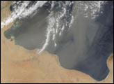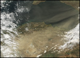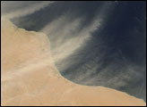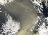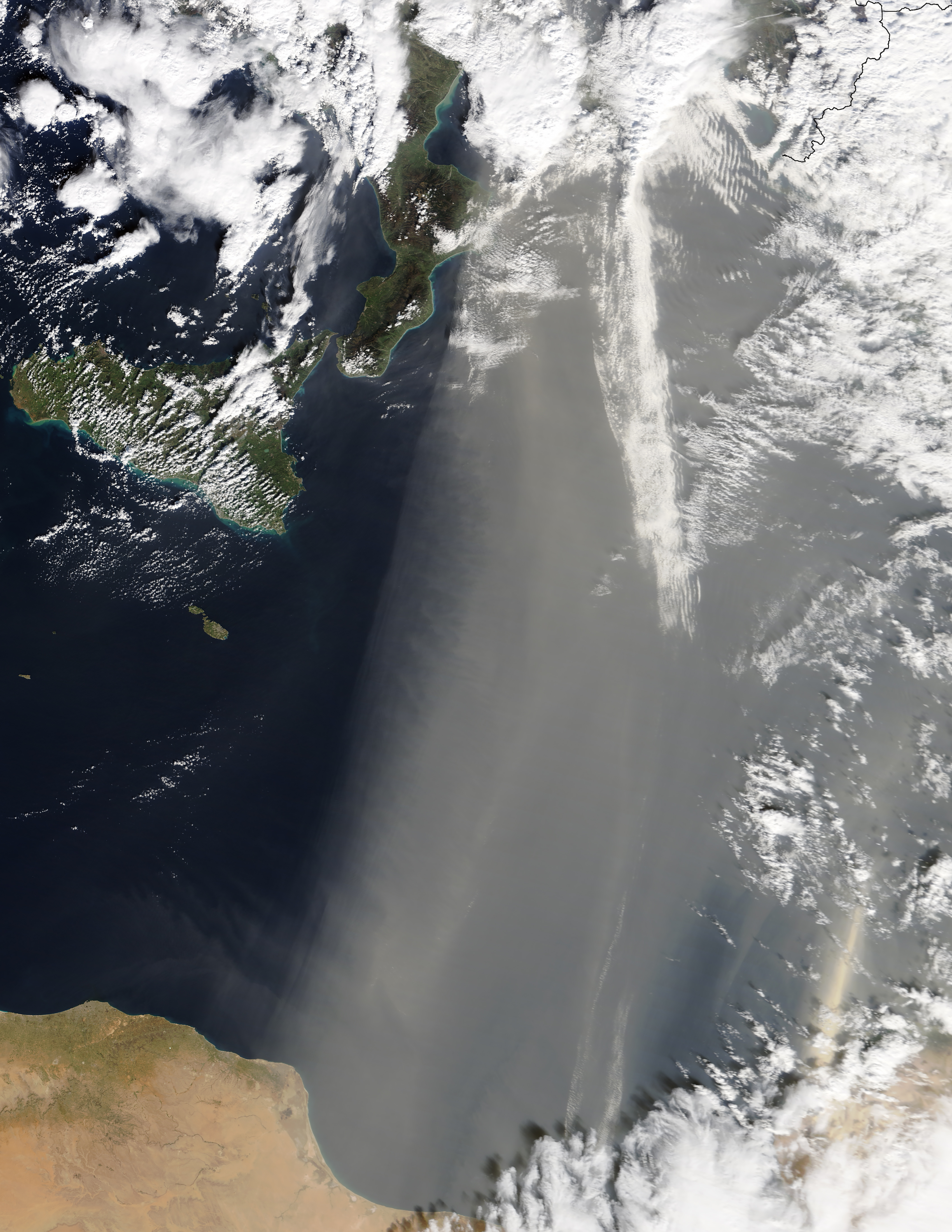
On February 7, 2018, the Moderate Resolution Imaging Spectroradiometer (MODIS) on NASA’s Terra satellite acquired this image of dust from the Sahara blowing over the Mediterranean Sea toward southern Europe.
According to news reports, the dust was carried by winds known as the scirocco. (In North Africa, these same desert winds are known as “chrom” (hot) or “arifi” (thirsty). The warm, dry air mass begins over the Sahara, picks up moisture over the Mediterranean, and moves north toward areas of lower pressure along the coasts of Europe.
The dust can be seen making its way toward Italy, and then continues to countries to the north (beyond this image). According to local news reports, the winds brought above average temperatures to Italy, while the sand increased the chance of rain. The fine sand particles can act as a “seed” on which water droplets can form fog or fall as rain. In Italy’s coastal areas, cars were covered with a layer of dust.
NASA Earth Observatory images by Jeff Schmaltz, using MODIS data from LANCE/EOSDIS Rapid Response. Caption by Kathryn Hansen.