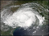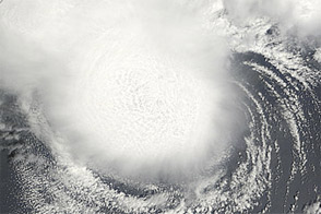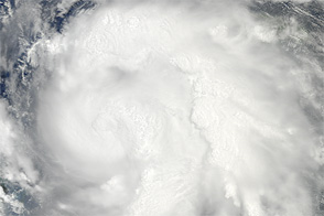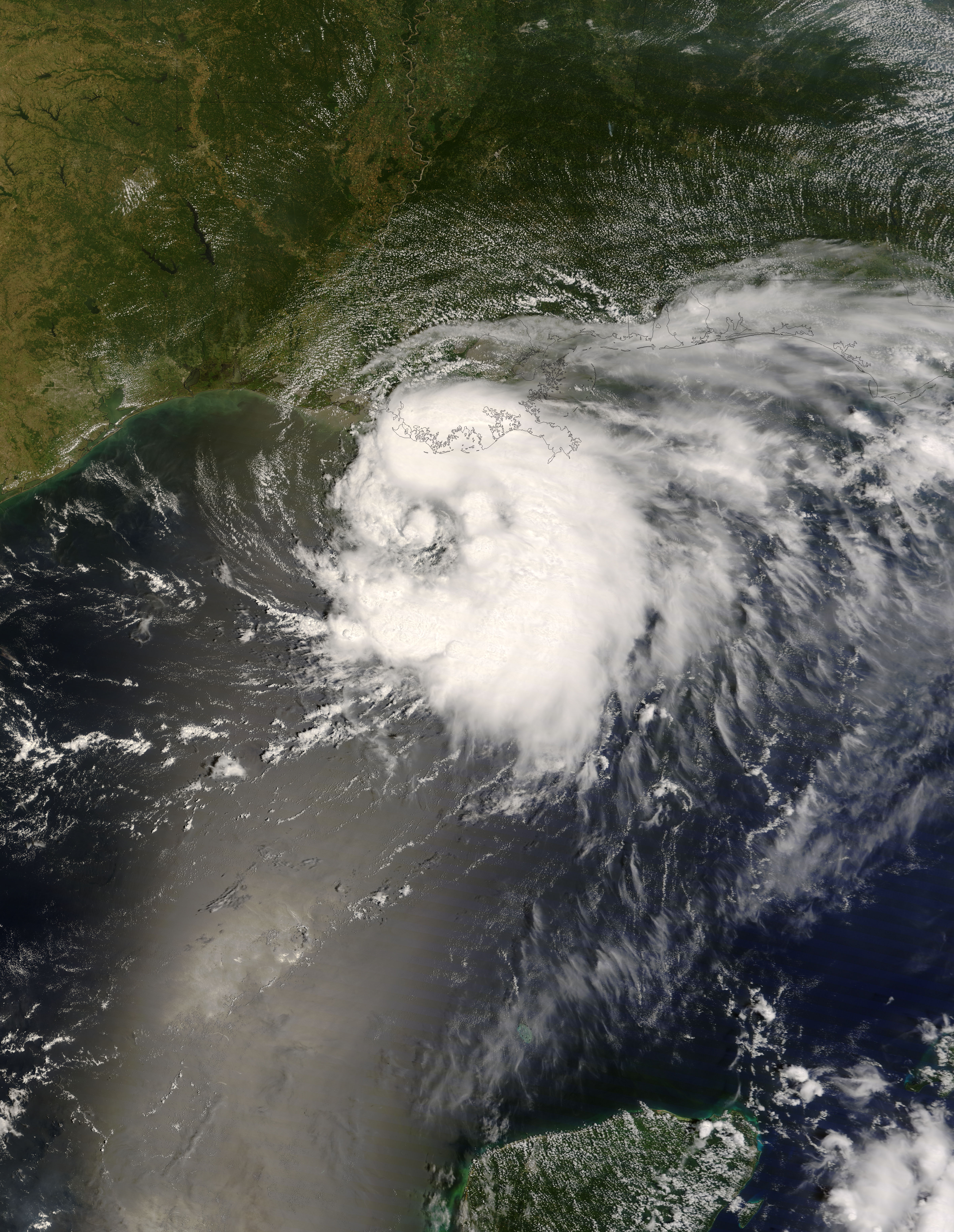
By the afternoon of August 4, 2008, Tropical Storm Edouard was headed for the U.S. Gulf Coast. The Moderate Resolution Imaging Spectroradiometer (MODIS) on NASA’s Terra satellite captured this image of the storm at noon Central Daylight Time (17:00 UTC). In this image, the sprawling storm blocks the satellite’s view of much of the Louisiana coast including the New Orleans region, while skies remain clear farther inland, particularly in Texas. Opaque clouds surround the storm’s eye, but farther away from the eye, the clouds assume translucent, wispy shapes, especially in the east.
Edouard had not strengthened into a hurricane when MODIS acquired this image, and the storm was expected to lose strength as it moved inland. According to a report from the U.S. National Hurricane Center, elevated oil rigs south of the Louisiana coast reported sustained winds of 72 to 89 kilometers (45 to 55 miles) per hour, well below the wind-speed threshold for a Category 1 hurricane.
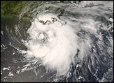
As predicted, Edouard came ashore along the Gulf Coast early in the day on August 5, 2008, one day after this image was acquired. Never having acquired hurricane strength, the storm made landfall west of the Texas-Louisiana border, east of Galveston, Texas. Besides strong winds, heavy rains, and a brief electrical outage, Edouard caused little damage.
You can download a 250-meter-resolution KMZ file of the storm suitable for use with Google Earth.
NASA image by Jeff Schmaltz, MODIS Rapid Response Team, Goddard Space Flight Center. Caption by Michon Scott.